Katihar
India /
Bihar /
Katihar /
World
/ India
/ Bihar
/ Katihar
World / India / Bihar / Katihar
town, taluka headquarter
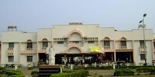
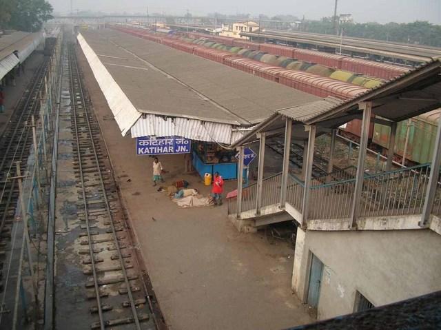
Katihar district is one of the districts of Bihar, and and Katihar town is the administrative headquarters of this district. The district is a part of Purnia Division. The district occupies an area of 3056 km² and has a population of 2,389,533 (2001 census). Katihar is a famous Railway Junction. Train coming directly from New Delhi, Jammu, Amritsar, Patna, Sialdah, Dadar, Barauni, Guwahati, New Jalpaiguri, Maldah, Jogbani & all other major stations.
Katihar became an independent district on October 2, 1973, before which it was a sub-division in the old Purnia district. The district suffered an earthquake in 1897.
Katihar became an independent district on October 2, 1973, before which it was a sub-division in the old Purnia district. The district suffered an earthquake in 1897.
Wikipedia article: http://en.wikipedia.org/wiki/Katihar
Nearby cities:
Coordinates: 25°32'46"N 87°33'42"E
- Siliguri 157 km
- Durgapur 219 km
- Dhanbad 225 km
- Bokaro Steel City 256 km
- Howrah 328 km
- Kolkata 332 km
- Ranchi 332 km
- Jamshedpur 336 km
- Kharagpur 353 km
- Haldia 379 km
- Lohiya Nagar 0.3 km
- Lalyahi Kabristhan 0.5 km
- Sri Mahanth Nagar 0.7 km
- Laliyahi 0.8 km
- Barmasia 0.8 km
- sitla sthan 1 km
- mirchaibari 1.1 km
- Officer Colony 1.2 km
- PUBLIC WORKS DEPARTMENT LAND KATIHAR,BIHAR 1.9 km
- Civil Court Complex 1.9 km
Comments