Peterhof (Saint Petersburg)
Russia /
Sankt Petersburg /
Petrodvorets /
Saint Petersburg
World
/ Russia
/ Sankt Petersburg
/ Petrodvorets
, 2 km from center (Петергоф)
World / Russia / Leningrad
invisible, residential neighbourhood
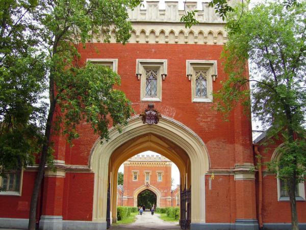


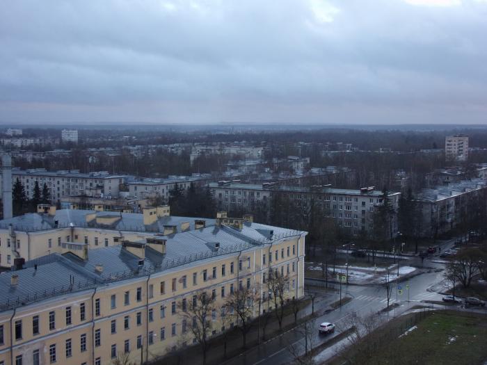
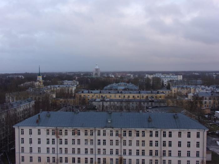
Petergof (Russian: Петерго́ф), known as Petrodvorets (Петродворец) from 1944 to 1997, is a municipal town in Petrodvortsovy District of the federal city of St. Petersburg, located on the southern shore of the Gulf of Finland. The town hosts one of two campuses of Saint Petersburg State University and the Petrodvorets Watch Factory, one of the leading Russian watch manufactures. A series of palaces and gardens, laid out on the orders of Peter the Great and sometimes called the "Russian Versailles", is also situated there. The palace-ensemble along with the city center is recognized as a UNESCO World Heritage Site.
Petergof is named after the Peterhof Grand Palace, a sixteen-meter-high bluff lying less than a hundred meters from the shore. The so-called Lower Gardens (Nizhny Sad), at 1.02 square kilometers (0.39 sq mi) comprising the better part of the palace complex land area, are confined between this bluff and the shore, stretching east and west for roughly 200 meters (660 ft). The majority of Peterhof's fountains are contained here, as are several small palaces and outbuildings. East of the Lower Gardens lies the Alexandria Park with 19th-century Gothic Revival structures such as the Gothic Chapel. Atop the bluff, near the middle of the Lower Gardens, stands the Grand Palace (Bolshoy Dvorets). To the south of it are the comparatively small Upper Gardens (Verkhny Sad). Upon the bluff's face below the Palace is the Grand Cascade (Bolshoy Kaskad). This and the Grand Palace are the centerpiece of the entire complex. At its foot begins the Sea Channel (Morskoy Kanal), one of the most extensive waterworks of the Baroque period, which bisects the Lower Gardens.
For a map of the central area known as the "Peterhof Palace", see
www.ticketsofrussia.ru/peterhof/map.html
en.wikipedia.org/wiki/Peterhof_Palace
Wikipedia article: http://en.wikipedia.org/wiki/Peterhof
Nearby cities:
Coordinates: 59°51'53"N 29°53'47"E
- Novaya Ropsha 11 km
- Kupchino 26 km
- Ozero Dolgoye (historical area) 26 km
- Shuvalovo-Ozerki 32 km
- Rybatskoye 33 km
- Osinovaya Roscha 33 km
- Kudrovo municipal district 34 km
- Molodyozhnoye 44 km
- Ushkovo 45 km
- Zelenogorsk 45 km
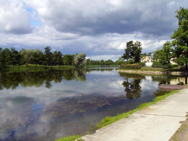
- Zapasnoy pond 0.2 km
- Nikolsky Pond 0.3 km
- Mel'nichny pond 0.4 km
- Sampsoniyevsky catchment 0.4 km
- Orliny upper pond 0.6 km
- Zayachy Remiz 0.9 km
- Lugovoy park 0.9 km
- Sapyorny pond 1.3 km
- Petrodvortsovy District 1.8 km
- Neva Bay 10 km