Tolmachyovo
Russia /
Leningrad /
Tolmachevo /
World
/ Russia
/ Leningrad
/ Tolmachevo
, 2 km from center (Толмачево)
World / Russia / Leningrad
town
Add category
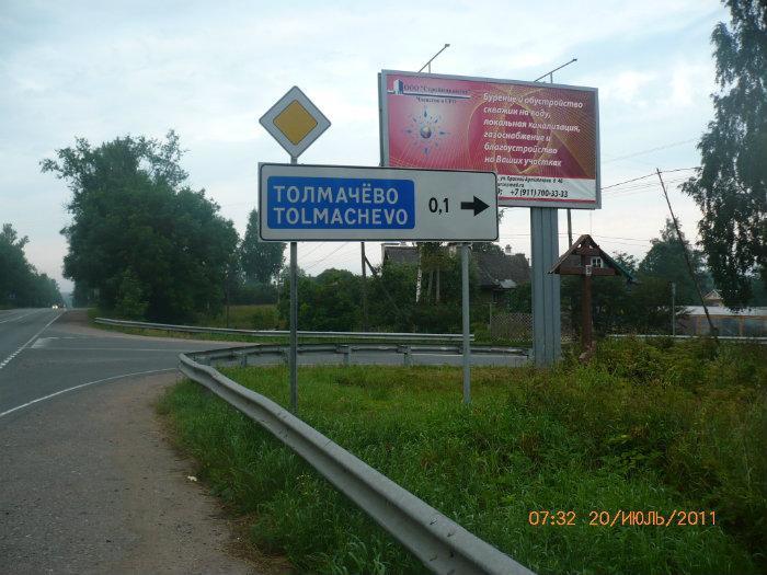
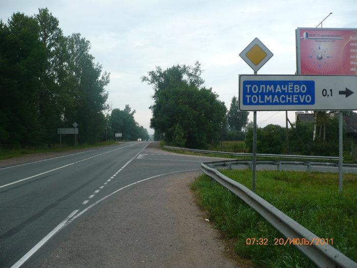
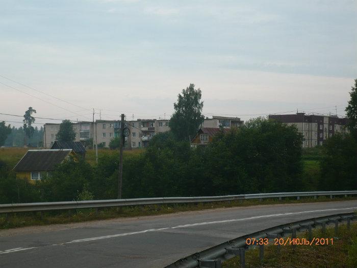

Urban locality (an urban-type settlement) in Luzhsky District of Leningrad Oblast, Russia, located on the right bank of the Luga River, northeast of the town of Luga. Population: 3,232 (2010 Census).
The settlement was founded in 1858 and served the railway station of Preobrazhenskaya. The name is related to the Preobrazhensky Regiment which was stationed nearby. An early enterprise in the settlement was a sawmill. By the end of the 19th century, the settlement was also a popular summer house area. At the time, it belonged to Luzhsky Uyezd of Saint Petersburg Governorate (subsequently Petrograd Governorate and Leningrad Governorate). In 1919, the station and the settlement were renamed Tolmachyovo to commemorate Nikolay Tolmachyov, a bolshevik killed in the area during the Russian Civil War. On August 1, 1927, the uyezds were abolished and Luzhsky District, with the administrative center in the town of Luga, was established. The governorates were also abolished, and the district was a part of Luga Okrug of Leningrad Oblast. On July 23, 1930, the okrugs were abolished as well, and the districts were directly subordinated to the oblast. On November 9, 1938 Tolmachyovo, which previously had the status of suburban settlement, was granted urban settlement status. Between 1941 and 1944, during World War II, Tolmachyovo was occupied by German troops.
The settlement was founded in 1858 and served the railway station of Preobrazhenskaya. The name is related to the Preobrazhensky Regiment which was stationed nearby. An early enterprise in the settlement was a sawmill. By the end of the 19th century, the settlement was also a popular summer house area. At the time, it belonged to Luzhsky Uyezd of Saint Petersburg Governorate (subsequently Petrograd Governorate and Leningrad Governorate). In 1919, the station and the settlement were renamed Tolmachyovo to commemorate Nikolay Tolmachyov, a bolshevik killed in the area during the Russian Civil War. On August 1, 1927, the uyezds were abolished and Luzhsky District, with the administrative center in the town of Luga, was established. The governorates were also abolished, and the district was a part of Luga Okrug of Leningrad Oblast. On July 23, 1930, the okrugs were abolished as well, and the districts were directly subordinated to the oblast. On November 9, 1938 Tolmachyovo, which previously had the status of suburban settlement, was granted urban settlement status. Between 1941 and 1944, during World War II, Tolmachyovo was occupied by German troops.
Wikipedia article: http://en.wikipedia.org/wiki/Tolmachyovo
Nearby cities:
Coordinates: 58°51'27"N 29°53'40"E
- Vyritsa 68 km
- Imeni Sverdlova 117 km
- Lake Peipus 170 km
- Hamina (Town) 250 km
- Lesogorsky 256 km
- Kerava (Town) 324 km
- Sipoo (Town) 326 km
- Riihimäki (Town) 359 km
- Hyvinkää (Town) 361 km
- Hämeenlinna (Town) 391 km
- Beach 0.3 km
- Water tower 0.7 km
- Partizanskaya railway station 0.9 km
- Water tower 1.1 km
- Transfiguration's Spas Church 1.2 km
- Water tower 2 km
- Zheltsy's beach 2.4 km
- Brige across river Luga 2.6 km
- Water tower 2.9 km
- Tosiky gardens 3 km