Krasnokamensk
Russia /
Chita /
Krasnokamensk /
World
/ Russia
/ Chita
/ Krasnokamensk
, 8 km from center (Краснокаменск)
World / Russia / Chita
city, district center
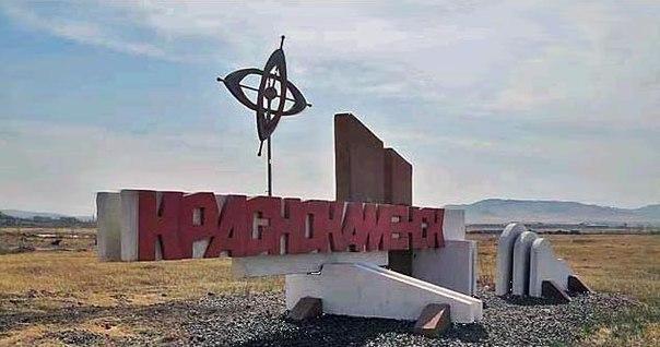
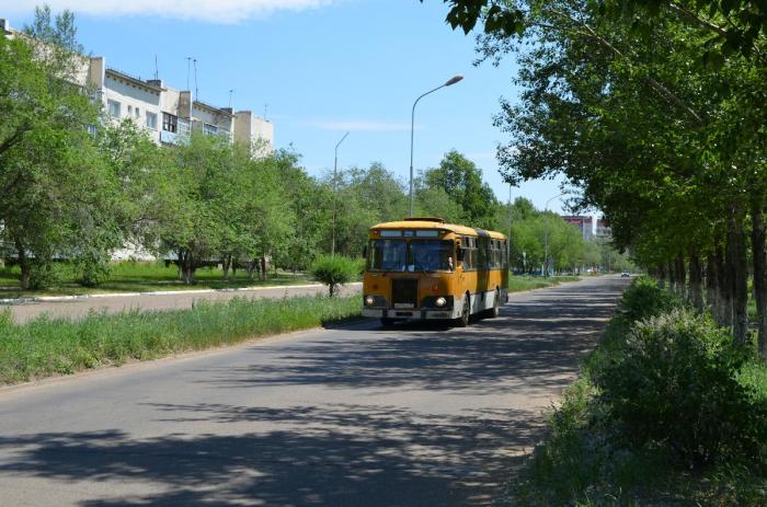
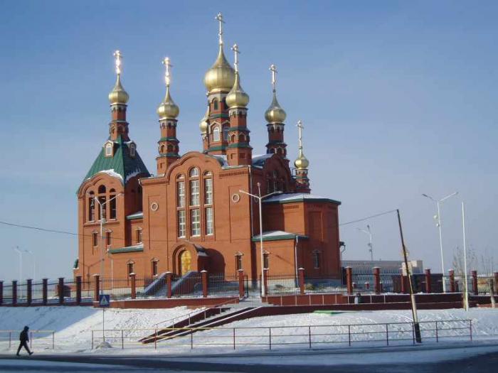
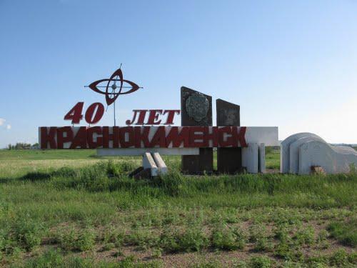
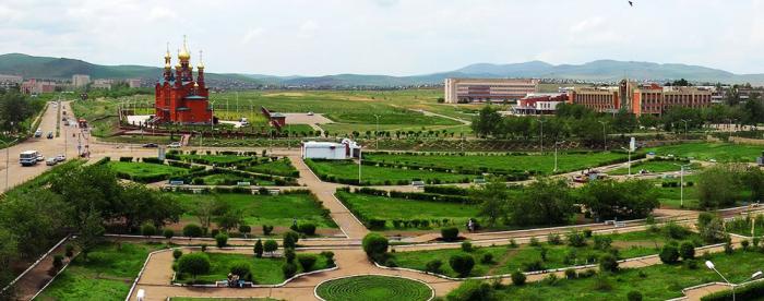
Town and the administrative center of Krasnokamensky District in Zabaykalsky Krai, Russia, located near the Sino-Russian border, 535 kilometers (332 mi) southeast of Chita, the administrative center of the krai. It is best known as the site for Russia's largest uranium mine. Population: 55,666 (2010 Census). The name translates roughly as town on red stone, with the reference to the color red reflecting both the actual rock formations in the area, as well as its political symbolism in the Soviet era.
It was founded in 1968, in conjunction with the commencement of mining of the Streltsovskoye uranium deposits, which had been discovered near the present site of the city in 1963. The settlement grew quickly and was granted town status in 1969.
It was founded in 1968, in conjunction with the commencement of mining of the Streltsovskoye uranium deposits, which had been discovered near the present site of the city in 1963. The settlement grew quickly and was granted town status in 1969.
Wikipedia article: http://en.wikipedia.org/wiki/Krasnokamensk,_Zabaykalsky_Krai
Nearby cities:
Coordinates: 50°6'26"N 118°4'54"E
- Blagoveshchensk 663 km
- Changchun 859 km
- Ulaanbaatar 862 km
- Shenyang 990 km
- Manpho 1152 km
- Samjiyon 1180 km
- Hoeryŏng 1192 km
- Chongjin 1235 km
- Rasŏn 1238 km
- Bratsk 1304 km
- Центральный КИП и Профилакторий 3.4 km
- Городской парк имени Покровского 3.8 km
- Krasnokamensk correctional labour facility 3.8 km
- Sports ground 4.7 km
- Demetrios's Return 4.9 km
- Argun Industrial Mining and Chemical Union (PPGHO) 7.6 km
- Urtuysky coal mine 9 km