Battle of Towton, 1461
United Kingdom /
England /
Tadcaster /
World
/ United Kingdom
/ England
/ Tadcaster
World / United Kingdom / England
battlefield, interesting place, historical layer / disappeared object, listed memorial
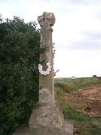

The largest and bloodiest battle ever fought on British soil, with casualties believed to have been in excess of 20,000 (1% of the British population at the time). The Battle took place in the War of the Roses and was a Yorkist Victory. Neither sides showed mercy, and many of the Lancastrians who fled away from the battle drowned in the freezing water nearby, and some had to escape by crossing a bridge of bodies.
The site is on the Register of Historic Battlefields operated by bistoric England, List entry Number: 1000040 listed as 'Battle of Towton 1461')
The site is on the Register of Historic Battlefields operated by bistoric England, List entry Number: 1000040 listed as 'Battle of Towton 1461')
Wikipedia article: http://en.wikipedia.org/wiki/Battle_of_Towton
Nearby cities:
Coordinates: 53°50'35"N 1°16'25"W
- Former RAF Sherburn-in-Elmet 5.7 km
- RSPB Fairburn Ings 12 km
- Former RAF Marston Moor 14 km
- Thorne Waste / Crowle Waste Nature Reserve (Humberhead Peatlands) 30 km
- Former RAF Holme-upon-Spalding Moor 34 km
- West Moor 35 km
- Castle Howard 39 km
- Former RAF Hemswell 65 km
- Former RAF Lissett 67 km
- Former RAF North Killingholme 67 km
- Cold Hill Farm 3.9 km
- Lotherton Hall 4 km
- Aberford 4.8 km
- Meadow 8.1 km
- Garforth Golf Club 8.9 km
- Saw Wood a64 - RBS - 9 km
- Garforth Academy 10 km
- Garforth chemical depot 12 km
- Brigshaw High School 12 km
- St Aidan's Nature Reserve 13 km