Torres Strait
Papua New Guinea /
Fly River /
Daru /
World
/ Papua New Guinea
/ Fly River
/ Daru
World / Australia / Queensland
water, strait / channel / passage / narrows, invisible
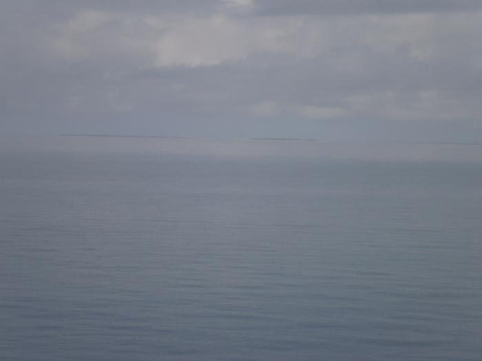
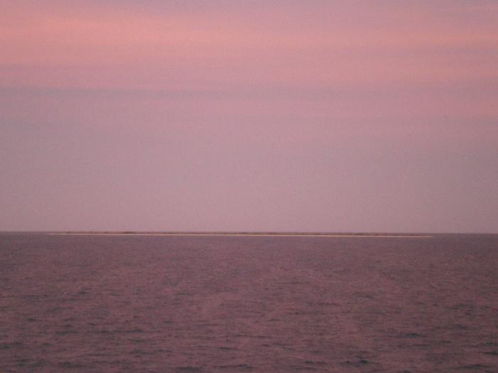
The Torres Strait is a body of water which lies between Australia and the Melanesian island of New Guinea. It is approximately 150 km wide at its narrowest extent. To the south is Cape York Peninsula, the northernmost continental extremity of the Australian state of Queensland. To the north is the Western Province of the independent state of Papua New Guinea.
Torres Strait
Name honours Luis Vaez de Torres who unknowlngly sailed throgh the strait in September 1606, six months after the Dutch vessel Duyfken sailed these waters. It came from the west but failed to find a passage through, and followed the eastern coast of the Gulf of Carpentaria south instead.
Wikipedia article: http://en.wikipedia.org/wiki/Torres_Strait
Nearby cities:
Coordinates: 9°57'20"S 143°4'19"E
- Bourke Islands 17 km
- Fly River Estuary 195 km
- Lake Murray 396 km
- Danau Gab Gab 409 km
- Astrolabe Bay 639 km
- Isumrud Strait 656 km
- Waropen Bay 1163 km
- Num Strait 1281 km
- Strait Arouri 1352 km
- Yapen Strait 1372 km
- Dungeness Reef 11 km
- Zagai Island Reef 20 km
- Sassie Island Reef 24 km
- Bourke Islands 26 km
- Warrior Reef 30 km
- Bet Reef 31 km
- The Three Sisters 35 km
- Warraber/Sue Reef 38 km
- Gurigur Reef 43 km
- Maped Au Kap Reef 54 km