Iskateley
Russia /
Nenets /
Naryan-Mar /
World
/ Russia
/ Nenets
/ Naryan-Mar
, 9 km from center (Нарьян-Мар)
World / Russia / Nenets
town, district center
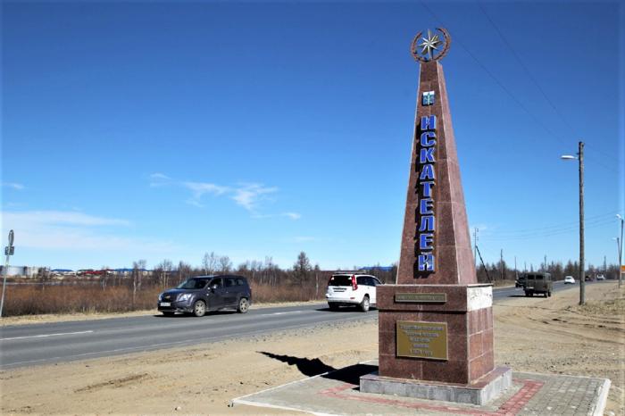
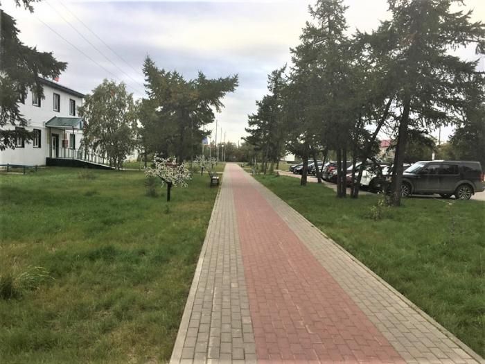

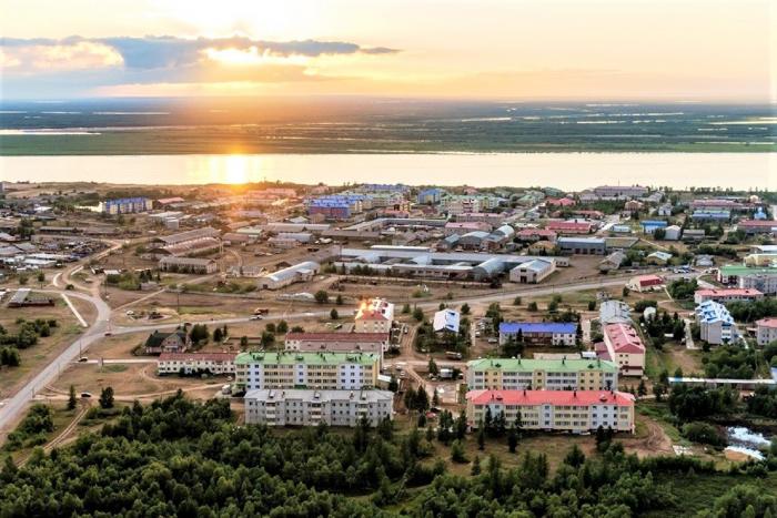
Urban locality (a work settlement) and the administrative center of Zapolyarny District of Nenets Autonomous Okrug, Russia. It is located on the right bank of the Pechora River, 6 kilometres (3.7 mi) from the center of the city of Naryan-Mar. Population 6.681 (2010 Census).
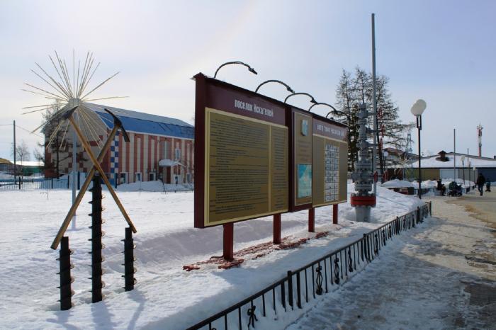
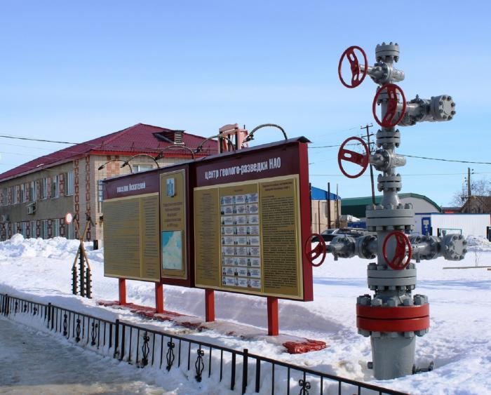
The settlement developed around the geology exploration point founded here in 1968. The name ‘Iskateley’, which means ‘Explorers’, was given to the settlement in 1974, and in 1986 it was granted an urban-type settlement (work settlement) status. Until 2005 Iskateley was administratively subordinated to the city of Naryan-Mar. In 2008 it became the administrative center of Zapolyarny District.
The settlement developed around the geology exploration point founded here in 1968. The name ‘Iskateley’, which means ‘Explorers’, was given to the settlement in 1974, and in 1986 it was granted an urban-type settlement (work settlement) status. Until 2005 Iskateley was administratively subordinated to the city of Naryan-Mar. In 2008 it became the administrative center of Zapolyarny District.
Wikipedia article: http://en.wikipedia.org/wiki/Iskateley
Nearby cities:
Coordinates: 67°40'23"N 53°7'33"E
- Kharp 552 km
- Murmashi 845 km
- Vidyayevo 846 km
- Afrikanda 865 km
- Verkhnetulomsky 887 km
- Zelenoborsky 894 km
- Nikel 948 km
- Dikson 1183 km
- Rognan 1593 km
- Longyearbyen 1643 km
- Polyclinic 0.4 km
- гаражи 0.4 km
- ул. Губкина, 12 0.5 km
- гаражи 0.6 km
- Тиманская ул., 35 0.7 km
- ул. Ардалина, 9 0.7 km
- Layavozhsky proyezd, 2 0.9 km
- Layavozhsky proyezd, 8 1 km
- Layavozhsky proyezd, 12 1.1 km
- Naryan-Mar Airport 4.1 km