Roman road
Tunisia /
Madaniyin /
Jarbah Midun /
World
/ Tunisia
/ Madaniyin
/ Jarbah Midun
, 20 km from center (جربة ميدون)
World / Tunisia / Tataouine
Roman Empire, bridge, road bridge
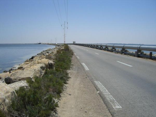
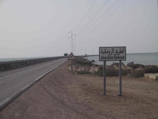

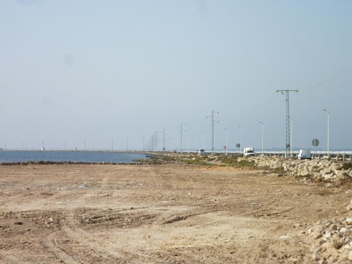
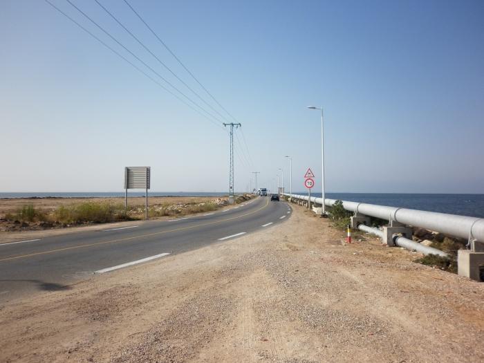
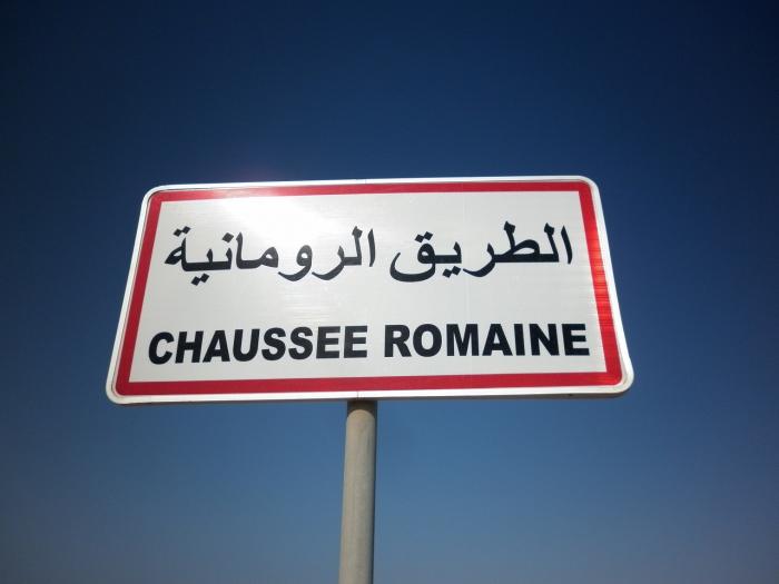
The island is connected to the south side of the mainland by a bridge 7 kilometers long and 10 meters wide. This dates back to Roman times or even the Punic era. The bridge is subsequently submerged by the sea and then cut to 1551, during conflicts between Dragut and Spaniards, before finally being rebuilt in the Second World War. This route also designed to route water there, the island has the particularity of not having source of freshwater. Indeed, a pipeline crosses the bridge and supplies power to the island without which tourism is unthinkable (80% of the water is for tourists against only 20% for residents).
Nearby cities:
Coordinates: 33°39'13"N 10°55'49"E
- wad gabes 81 km
- Wad Al Htab 267 km
- Bridge 274 km
- Roman aqueduct 292 km
- pond 325 km
- Railway bridge 391 km
- gantrat cha3b rssas 493 km
- faculté de sciences et science des angénieurs 495 km
- جسر سيدي مسيد 496 km
- Ouad Dib Bridge 533 km
- Ras el Khsîm 5 km
- Ouled Mnafeg 8.9 km
- Gulf of Boughrara 12 km
- Djerba Island 14 km
- Hotel Oasis marine 4* 15 km
- Club Sangho Zarzis 15 km
- MARETAP 18 km
- Plage Sonia 23 km
- خلف الله 24 km
- Caserne de l'armé de Terre Tunisienne 24 km