Ust-Kara
Russia /
Komi /
Tsementnozavodskiy /
World
/ Russia
/ Komi
/ Tsementnozavodskiy
, 121 km from center (Цементнозаводский)
World / Russia / Komi
village
Add category

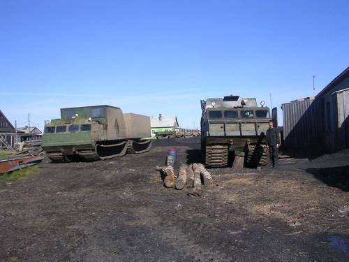
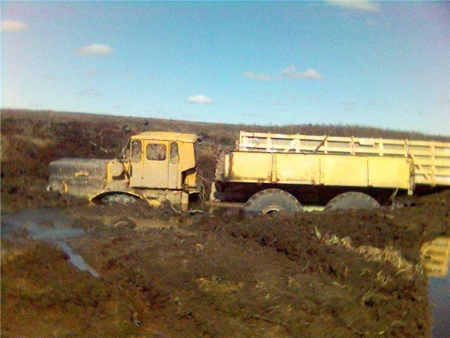

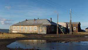


Village on the eastern border of Zapolyarny District, Nenets Autonomous Okrug, Russia. It had a population of 574 as of 2010. The village is located at the mouth of the Kara, next to the border with Yamalo-Nenets Autonomous Okrug. The nearest major city is Vorkuta, which is about 200 km south. Southwest of the settlement is the Kara crater, which is one of the largest craters on Earth, at 65 km in diameter.
In 2003, there was a hepatitis A outbreak in the village. One year later, in 2004, the only school in the village burned down, followed by the decision to build a new one.
In 2003, there was a hepatitis A outbreak in the village. One year later, in 2004, the only school in the village burned down, followed by the decision to build a new one.
Wikipedia article: http://en.wikipedia.org/wiki/Ust-Kara,_Nenets_Autonomous_Okrug
Nearby cities:
Coordinates: 69°14'46"N 64°55'38"E
- Amderma 141 km
- Aksarka 321 km
- Cape-Stone village. Zapolarnuy ITL. ZAPOLYARLAG. Construction 501 GULAG. 354 km
- Yar-Sale 360 km
- Novy Port 367 km
- Yamburg 427 km
- Nelmin-Nos 505 km
- Telviska 524 km
- Rogachevo 534 km
- Tazovsky 595 km
- Kara Meteorite Crater 31 km
- Kykaty Lakes 68 km