San Pedro de Atacama
Chile /
Antofagasta /
Calama /
World
/ Chile
/ Antofagasta
/ Calama
World / Chile / Antofagasta / El Loa
city
Add category


1938 habitantes; altitud 2438 m. Capital municipal situada en la desembocadura del mayor río que desagua en el salar de atacama, el río Grande.
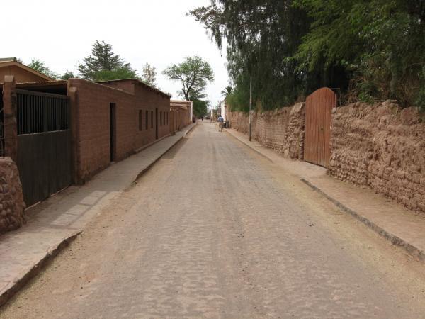
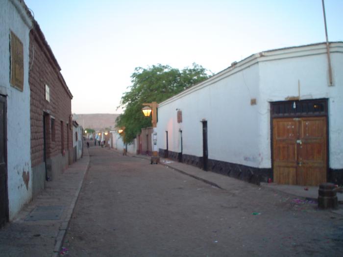
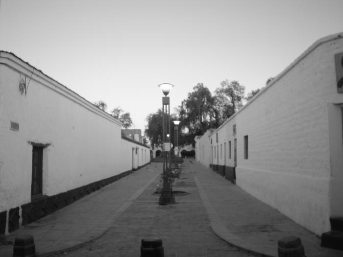
San Pedro de Atacama (San Pedro for short) is a small village located in one of the many oases which are founded in the altiplano of the second region of Chile.
Along this geographic zone rise some of the highest volcanoes of the Los Andes cordillera.
Formerly the center of the Atacama culture, today San Pedro's population is about 2.500.
Nowadays this small town has a big importance becouse it is considered as the archeological capital of Chile and also becouse of its extreme geographic position , the beauty of the landscape and its eternal blue sky.
Wikipedia article: http://en.wikipedia.org/wiki/San_Pedro_de_Atacama
Nearby cities:
Coordinates: 22°55'6"S 68°12'8"W
- Calama 98 km
- Tocopilla 229 km
- Antofagasta 239 km
- Copiapó 538 km
- Vallenar 679 km
- Vallenar 680 km
- La Serena 827 km
- Gran La Serena 831 km
- Coquimbo 843 km
- Ovalle 902 km
- Valle de la Muerte 3.5 km
- Gran Explanada 10 km
- Cerro Carolina, 2870 m. 23 km
- Ruta B-207 31 km
- Llano del Quimal 51 km
- Salar de Atacama 57 km
- Cerro Quenante 62 km
- Llano Quenante 67 km
- Cerro Mariposa 70 km
- Cerro Cenizas, 3342 m. 72 km
Comments