Uyar
Russia /
Krasnojarsk /
Uyar /
World
/ Russia
/ Krasnojarsk
/ Uyar
, 0 km from center (Уяр)
World / Russia / Krasnoyarsk
city, district center
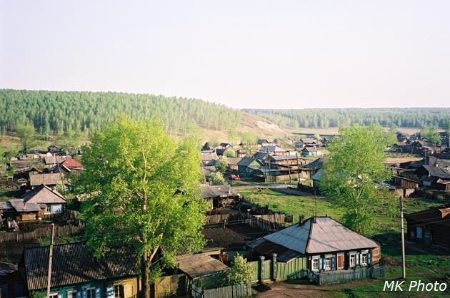
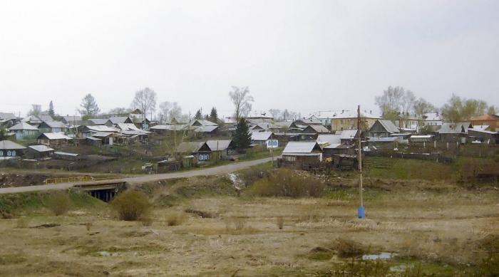


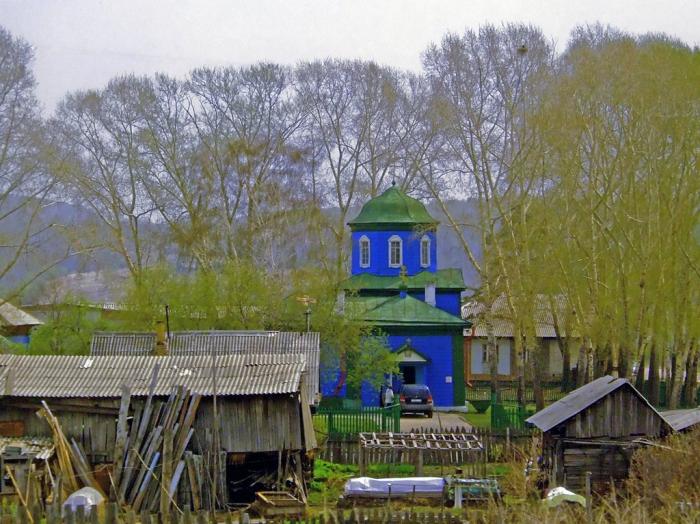

Town and the administrative center of Uyarsky District of Krasnoyarsk Krai, Russia, located on the Uyarka River (Yenisei's basin) 132 kilometers (82 mi) east of Krasnoyarsk. Population: 12,665 (2010 Census).
It has been known to exist since 1760. In the 19th century, the Trans-Siberian Railway was laid right through the settlement and a small railway station, known as Klyukvennaya (Клюквенная), was also built there. It was there that during the Russian Civil War the Polish 5th Rifle Division capitulated to the Bolsheviks in the course of the White Retreat from Siberia. Town status was granted in 1944. The full name of the town, Uyarspasopreobrazhenskoye, is rarely used.
It has been known to exist since 1760. In the 19th century, the Trans-Siberian Railway was laid right through the settlement and a small railway station, known as Klyukvennaya (Клюквенная), was also built there. It was there that during the Russian Civil War the Polish 5th Rifle Division capitulated to the Bolsheviks in the course of the White Retreat from Siberia. Town status was granted in 1944. The full name of the town, Uyarspasopreobrazhenskoye, is rarely used.
Wikipedia article: http://en.wikipedia.org/wiki/Uyar,_Uyarsky_District,_Krasnoyarsk_Krai
Nearby cities:
Coordinates: 55°48'15"N 94°18'50"E
- Bratsk 446 km
- Ulaanbaatar 1195 km
- Blagoveshchensk 2259 km
- Changchun 2535 km
- Shenyang 2585 km
- Manpho 2798 km
- Samjiyon 2861 km
- Hoeryŏng 2888 km
- Chongjin 2929 km
- Rasŏn 2938 km
- Water tower 0.8 km
- Water tower 1 km
- Уярское хлебоприёмное предприятие 1.4 km
- Water tower 1.6 km
- Уярская районная больница 2.6 km
- Уярский сельскохозяйственный техникум 2.6 km
- ул. Ленина, 219 2.7 km
- ул. Ленина, 174 2.7 km
- ул. Ленина, 221 2.7 km
- ул. Ленина, 176 2.7 km