Matupá
Brazil /
Mato Grosso /
Matupa /
World
/ Brazil
/ Mato Grosso
/ Matupa
World / Brazil / Mato Grosso / Matupá
city, municipality

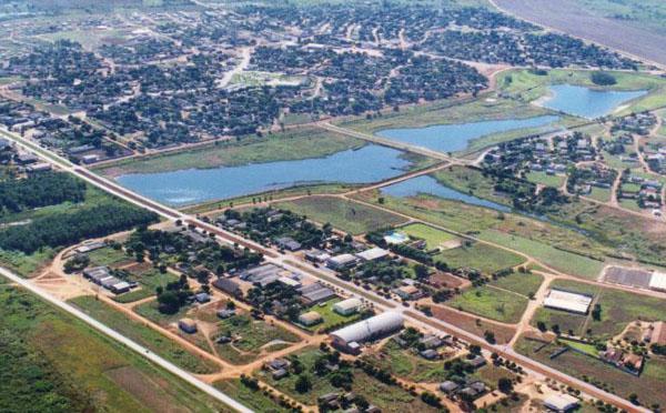
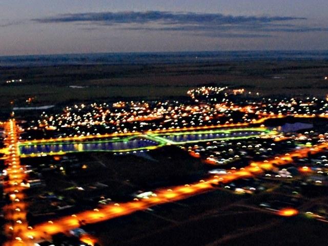
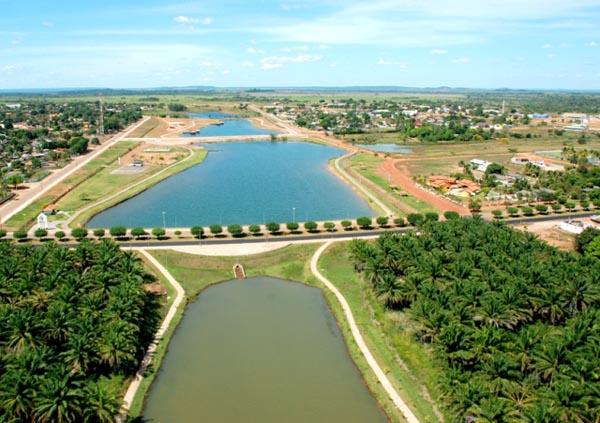
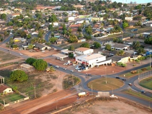

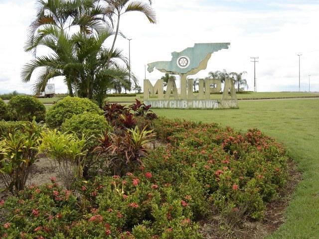
Matupá is a municipality in the Brazilian state of Mato Grosso. It is located at latitude 10° 03'27" south and longitude 54º 55'58" west, with an altitude of 280 meters. Its population in 2008 was 14,821 inhabitants. It has an area of 5151.850 kilometers. Matupá comes from the Tupi "matupa" to mean the portion of land, vegetation, it gives off the banks of the rivers of the Amazon basin and drifting down the stream.
Wikipedia article: http://en.wikipedia.org/wiki/Matupá
Nearby cities:
Coordinates: 10°10'24"S 54°55'49"W
- Palmas 714 km
- Mateiros 859 km
- São Félix do Tocantins 860 km
- Alto Parnaíba - Maranhão - Brasil 917 km
- Santa Filomena - Piauí - Brasil 1001 km
- Fortaleza dos Nogueiras - Maranhão - Brasil 1016 km
- corrente 1034 km
- Alto Alegre do Pindaré 1195 km
- Zé Doca 1227 km
- Cândido Mendes 1410 km
- Runway 2.6 km
- CENTRO ANTIGO - SETOR 09 11 km
- Square of Culture 25 km
- Cemetery 26 km
- Colider Airport (SIKC) 88 km
- Raimundo Costa Filho Square 91 km
- ruins 96 km
- Complexo Esportivo Edson Santos 132 km
- Runway 133 km
- Apron 133 km