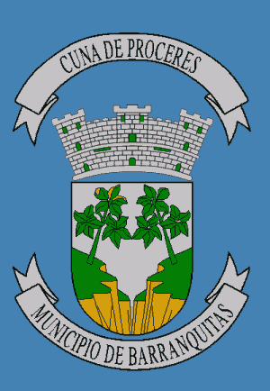
Barranquitas
| city, municipality
Puerto Rico /
Guayama /
Barranquitas /
World
/ Puerto Rico
/ Guayama
/ Barranquitas
World / Puerto Rico
city, municipality

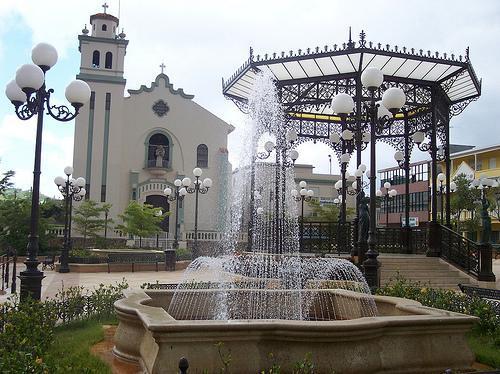
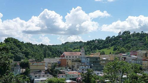
Barranquitas is a small mountain municipality located in the central region of Puerto Rico, south of Corozal and Naranjito; north of Coamo and Aibonito; west of Comerío and Cidra; and east of Orocovis. Barranquitas is spread over 6 wards and Barranquitas Pueblo (the downtown area and the administrative center of the city). It is part of the San Juan-Caguas-Guaynabo Metropolitan Statistical Area.
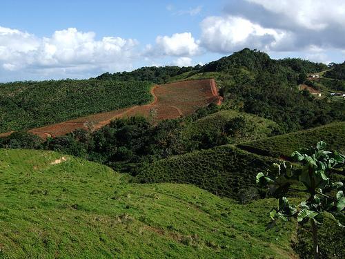
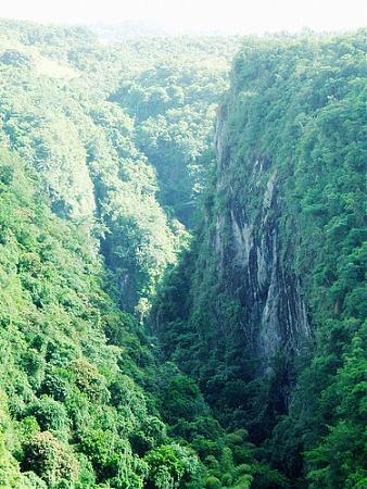
Barranquitas is about one hour by winding roads from San Juan, the capital. It is nestled amid hills and mountains, and nearby, between Barranquitas and Aibonito, is located the "cañón de San Cristóbal" (Canyon of Saint Cristopher); one of the deepest canyons in the Indies. For years, the overlook was used as a municipal garbage; in the last decade, the refuse was removed and the site restored.
Barranquitas is about one hour by winding roads from San Juan, the capital. It is nestled amid hills and mountains, and nearby, between Barranquitas and Aibonito, is located the "cañón de San Cristóbal" (Canyon of Saint Cristopher); one of the deepest canyons in the Indies. For years, the overlook was used as a municipal garbage; in the last decade, the refuse was removed and the site restored.
Wikipedia article: http://en.wikipedia.org/wiki/Barranquitas,_Puerto_Rico
Nearby cities:
Coordinates: 18°12'3"N 66°18'25"W
- Utuado 58 km
- Guayana City 1148 km
- Boa Vista 1803 km
- Calçoene 2350 km
- Amapá 2452 km
- Ferreira Gomes 2519 km
- Cutias 2533 km
- Macapá 2575 km
- Santana 2578 km
- Itaubal 2584 km
- Torrecilla Forest Preserve 2 km
- Helechal 3.8 km
- Palo Hincado 4.1 km
- San Cristóbal Canyon Nature Preserve 4.2 km
- Las Bocas Canyon 4.6 km
- Pulguillas 6.3 km
- Asomante 7.6 km
- Pueblo 8 km
- Hayales 8.2 km
- Coamo Arriba 8.7 km