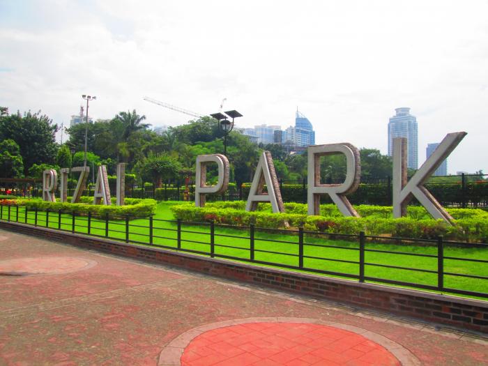
Rizal Park (Luneta) (Manila)
Philippines /
National Capital Region /
Manila /
Roxas Boulevard (N61 / R-1)
World
/ Philippines
/ National Capital Region
/ Manila
World / Philippines / Metropolitan Manila / Manila
park, place with historical importance, interesting place, tourist attraction
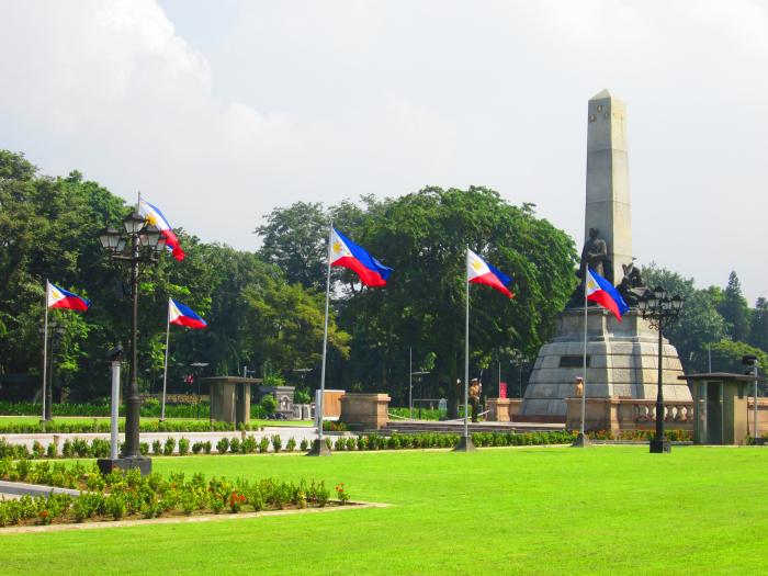
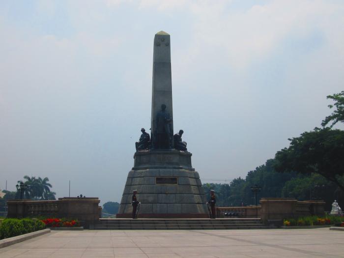
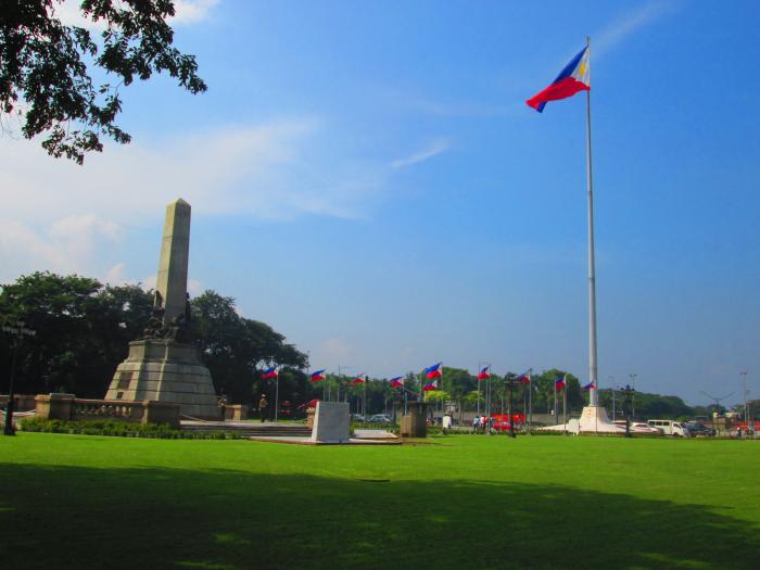
Considered as one of the largest parks in Southeast Asia, it has an area of 58 hectares which runs from Taft Avenue up to the walls of the famous Manila Bay. It was known as the Bagumbayan field during the Spanish era since this was where the Filipino-Moslems took refuge after the Spaniards occupied Intramuros in 1571. It was also called "Luneta," which means Little Moon. For 74 years, it was used as an executing ground by the Spaniards for Filipino rebels and mutineers. By 1902, Daniel Bumham, architect and city planner, chose Bagumbayan as the site of the proposed American government center. He designed a U-shaped composition of buildings, but only three were constructed: the Executive House, the Department of Tourism building, and the Department of Finance building. It acquired its present name Rizal National Park in dedication to the Philippine national hero, Dr. Jose P. Rizal, whose mortal remains were interred in the cornershore of the Rizal Monument in 1912.
Wikipedia article: http://en.wikipedia.org/wiki/Rizal_Park
Nearby cities:
Coordinates: 14°34'55"N 120°58'40"E
- Burnham Green 0.4 km
- Manila Baywalk 0.9 km
- Esplanade with 3-Storey Carpark Building (U.C.) 1 km
- Club Intramuros Golf Course 1.5 km
- Malacañang Park 2.3 km
- CCP Open Field 3.2 km
- Manila South Cemetery 4.4 km
- Roxas Boulevard Promenade 4.4 km
- MOA Sky 5 km
- Villamor Golf Course 7.1 km
- Ermita 0.7 km
- Intramuros 0.9 km
- Manila South Harbor 1.2 km
- Island A (U.C.) 1.4 km
- Port Area 1.7 km
- Manila Waterfront City (U.C.) 2 km
- Malate 2.2 km
- Island B (U.C.) 2.7 km
- Port of Manila 3.5 km
- Manila Bay 21 km
Comments