Cagban Jetty Port
Philippines /
Western Visayas /
Manoc-Manoc /
World
/ Philippines
/ Western Visayas
/ Manoc-Manoc
World / Philippines / Aklan / Malay
pier, seaport, ferry terminal

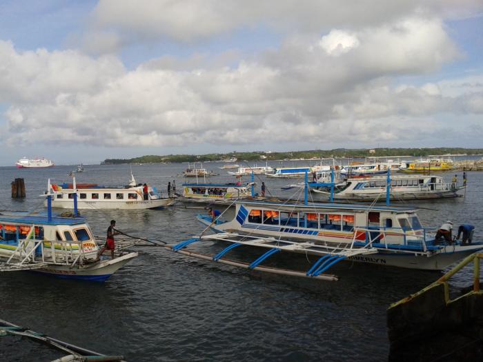
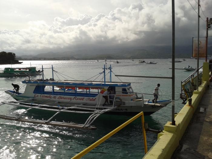

Ferry boat landing, Island arrival/departure area
Nearby cities:
Coordinates: 11°56'24"N 121°56'21"E
- Dumangas Port 154 km
- Iloilo Pier (Fort San Pedro) 156 km
- Port of Calapan 185 km
- La Verdad Beach Resort 198 km
- Batangas Port Passenger Terminal Complex 225 km
- Cataingan Port 225 km
- Matnog Ferry Terminal 244 km
- Super Shuttle Mandaue Ferry Terminal 283 km
- Dipolog Port 406 km
- Aurora Special Economic Zone Authority 474 km
- Boracay Island 3.2 km
- Balabag 3.7 km
- Yapak 6 km
- Nabas Wind Farm 8.2 km
- Napaan 10 km
- Cabalian Channel 18 km
- Looc Bay 32 km
- Aklan 39 km
- Tablas Strait 53 km
- Romblon 71 km