Gornozavodsk
Russia /
Perm /
Gornozavodsk /
World
/ Russia
/ Perm
/ Gornozavodsk
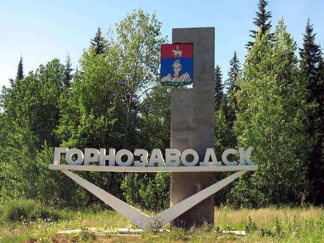
, 1 km from center (Горнозаводск)
World / Russia / Perm'
city, district center
Town and the administrative center of Gornozavodsky District in Perm Krai, Russia, located 192 kilometers (119 mi) northeast of Perm, the administrative center of the krai. Population: 12,057 (2010 Census).
Until the mid-1940s, there was a small railway station on the site of today's town, and the station buildings were closely adjoined by a forest. In 1947, construction of a cement plant began, the first phase of which has been in operation since 1955. As the plant developed, the settlement, which was called Novo-Pashisky, grew too. In 1950 it was given an urban-type settlement status. On the 4th of November 1965 under the decree of the Presidium of the Supreme Soviet of RSFSR Novopashiskiy settlement had been transformed to a town of regional subordination and was renamed as Gornozavodsk. The same decree established the Gornozavodsky District with its centre in the town of Gornozavodsk.
Until the mid-1940s, there was a small railway station on the site of today's town, and the station buildings were closely adjoined by a forest. In 1947, construction of a cement plant began, the first phase of which has been in operation since 1955. As the plant developed, the settlement, which was called Novo-Pashisky, grew too. In 1950 it was given an urban-type settlement status. On the 4th of November 1965 under the decree of the Presidium of the Supreme Soviet of RSFSR Novopashiskiy settlement had been transformed to a town of regional subordination and was renamed as Gornozavodsk. The same decree established the Gornozavodsky District with its centre in the town of Gornozavodsk.
Wikipedia article: http://en.wikipedia.org/wiki/Gornozavodsk,_Perm_Krai
Nearby cities:
Coordinates: 58°22'53"N 58°19'40"E
- Nizhny Tagil 95 km
- Perm 149 km
- Berezniki 165 km
- Yekaterinburg 191 km
- Kamensk-Uralsky 291 km
- Izhevsk 352 km
- Yugorsk 429 km
- Tyumen 432 km
- Kirov 512 km
- Syktyvkar 574 km
- Substation 220/110kV "Gornozavodsk" 2.4 km
- Lotari mountain 8.4 km
- Culvert 12 km