Gyulistan
Azerbaijan /
Goranboy /
Asagi Agcakend /
World
/ Azerbaijan
/ Goranboy
/ Asagi Agcakend
World / Azerbaijan
ruins, ghost town
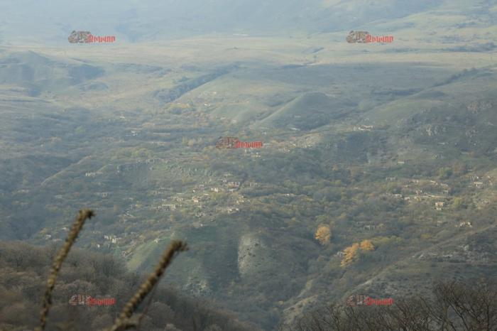


Gülüstan or Gulistan is a village in the Goranboy District of Azerbaijan. It is a part of the municipality of Buzluq.
Wikipedia article: https://en.wikipedia.org/wiki/Gülüstan,_Goranboy
Nearby cities:
Coordinates: 40°21'26"N 46°35'8"E
- Chayli / Aygestan 19 km
- Shirkhavend 33 km
- Ruins of Alimadatli 37 km
- Shahbulag 39 km
- Chullu 41 km
- Bas Qarvand 42 km
- Qiyasli 45 km
- Agdam 47 km
- Novruzlu 56 km
- Marzili 60 km
- Kyahrilar mt. 5.7 km
- Chinar mt. 8.6 km
- Arakeser mountains 9 km
- Yanykhdag mt. 13 km
- Sugovushan / Mataghis watermixing reservoir 13 km
- Abandoned buildings 14 km
- Tartar District 14 km
- Aghdara district 22 km
- Goranboy district 26 km
- Dividing line 35 km
Comments