Befreiungshalle
Germany /
Bayern /
Kelheim /
World
/ Germany
/ Bayern
/ Kelheim
World / Germany / Bayern / Niederbayern
memorial, listed building / architectural heritage

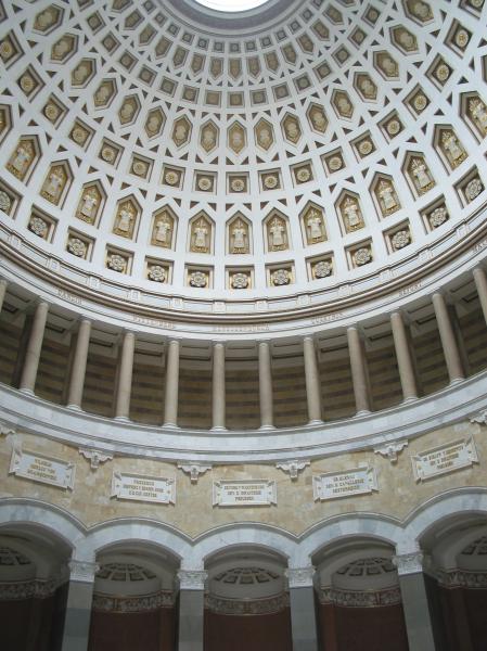
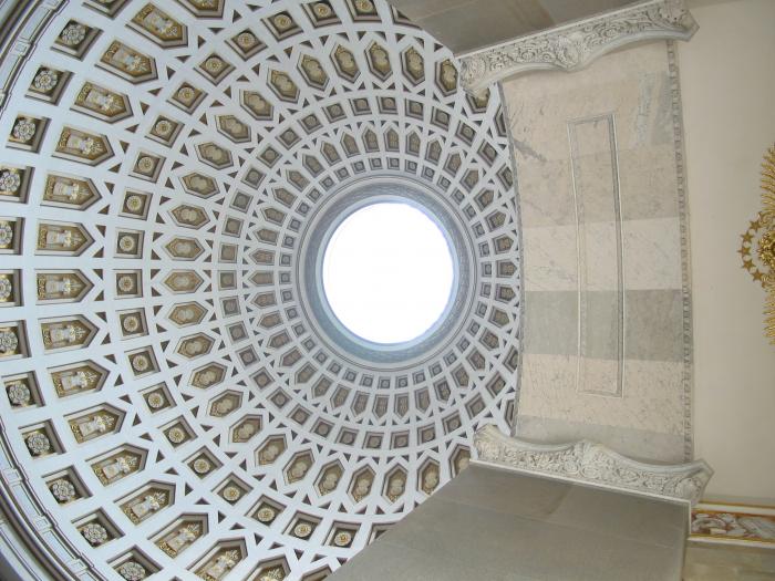
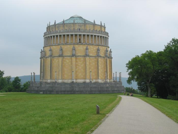


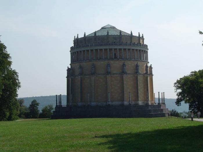
'Hall of Liberation'
Wikipedia article: http://en.wikipedia.org/wiki/Befreiungshalle
Nearby cities:
Coordinates: 48°55'7"N 11°51'37"E
- Tillyhaus 36 km
- New Palace and Bavarian Army Museum 36 km
- Convent church St Johann im Gnadenthal 36 km
- The Asam Church of Maria de Victoria 36 km
- Kathol. Pfarrkirche St. Vitus 41 km
- Townhall Au in der Hallertau 41 km
- Roman Catholic Office St. Vitus / St. Bartholomaus 41 km
- Roman Catholic Church St. Vitus 41 km
- Road bridge 1.3 km
- Weltenburg Abbey 3.7 km
- Road bridge 4.6 km
- Road Bridge 4.9 km
- Railway bridge 11 km
- OMV Abensberg 12 km
- Hotel "Centurio" 12 km
- Gillamoos Bavarian Folksfestival 12 km
- Underpass 13 km
- Franconian Jura 73 km