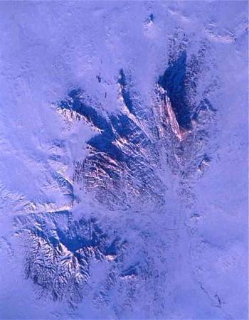
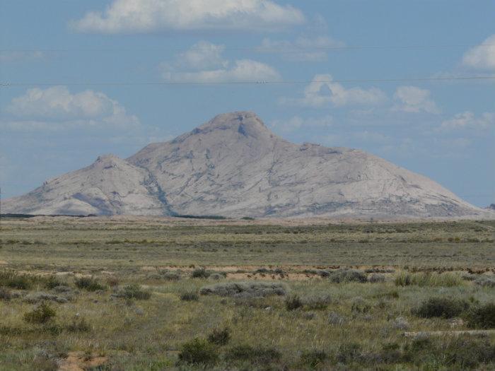
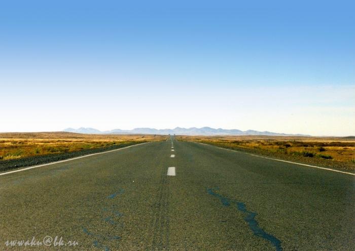
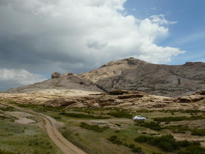
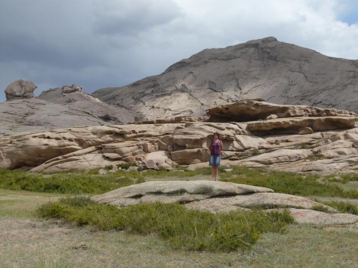
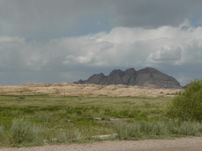
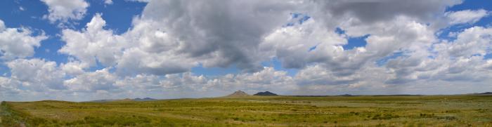
Bektau Ata mountains
Kazakhstan /
Qaragandy /
Konyrat /
World
/ Kazakhstan
/ Qaragandy
/ Konyrat
World / Kazakhstan / Qaraghandy
urochishte (stow), massif
Nearby cities:
Coordinates: 47°25'57"N 74°47'40"E
- Khibiny Mountains 3253 km
- Vrancea Mountains 3634 km
- Nemira Mountains 3637 km
- Călimani Mountains 3708 km
- Rodna Mountains 3721 km
- Gutâi 3785 km
- Mountains Riyadh Riyan 4320 km
- Swabian Jura 4757 km
- Ennedi Massif 5882 km
- Cordillera Vilcanota 15142 km
- Cemetery 4.1 km
- Cemetery 63 km
- Muslim cemetery 63 km
- Wintering 66 km
- Wintering 66 km
- Muslim cemetery 68 km
- Muslim cemetery 68 km
- Muslim cemetery 70 km