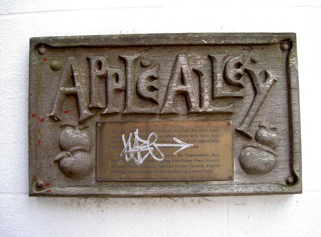
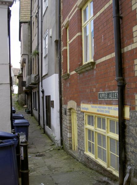
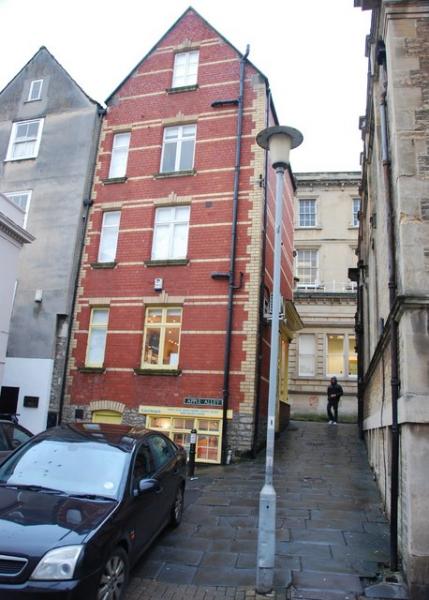
Apple Alley (Frome)
United Kingdom /
England /
Frome
World
/ United Kingdom
/ England
/ Frome
World / United Kingdom / England
street
Add category
Nearby cities:
Coordinates: 51°13'51"N 2°19'16"W
- Badminton Vista 39 km
- The Beech Avenue 47 km
- Queen Anne's Ride 120 km
- The Long Walk 122 km
- Oxford Street, London 154 km
- The Mall 155 km
- Lordship Lane (Haringey) N17 & N22 159 km
- Grand Avenue leading to Wimpole Hall 186 km
- North Avenue 338 km
- Royal Mile 529 km
- The Cattle Market Carpark (pay & display) 0.3 km
- Christ Churchyard 0.4 km
- Mary Bailey Playing Fields 0.5 km
- Frome Park 0.6 km
- The Dippy Valley 0.9 km
- Site of the last productive woollen factory in Frome 0.9 km
- Butler & Tanner, printers 0.9 km
- Former Cuprinol Site 1 km
- Site of Wallbridge Woollen Mill ( demolished) 1 km
- Somerset 51 km