Yaroslavskaya Interchange (MKAD) (Moscow)
Russia /
Moskovskaja Oblast /
Druzhba /
Moscow
World
/ Russia
/ Moskovskaja Oblast
/ Druzhba
, 3 km from center (Дружба)
World / Russia / Moscow City / North-Eastern
invisible, 1998_construction, 1960_construction, highway interchange / exit

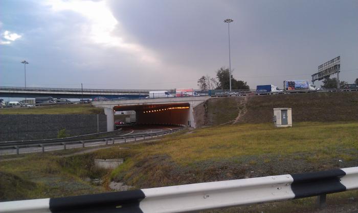
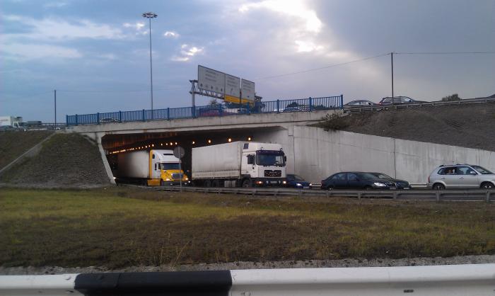
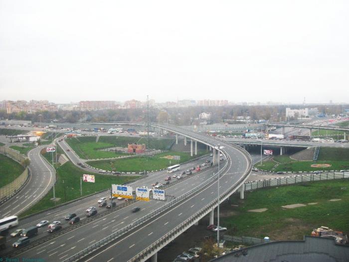
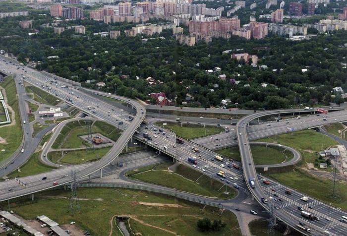
The first four-level interchange in Russia at the intersection of Yaroslavskoye Highway and MKAD.
Built in 1960, upgraded to four levels in 1998.
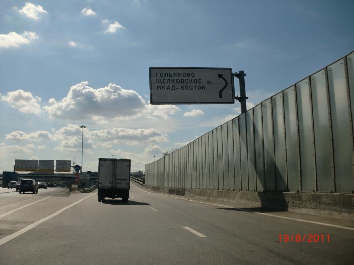
Exits:
— (E 115, M-8 Kholmogory) Arkhangelsk, Yaroslavl;
— Trakt-Terminal construction market;
— (E 22, E 115, MKAD) east;
— Hanoi – Moscow shopping center;
— Moscow (Yaroslavskoye Highway);
— (E 22, MKAD) north.
Built in 1960, upgraded to four levels in 1998.
Exits:
— (E 115, M-8 Kholmogory) Arkhangelsk, Yaroslavl;
— Trakt-Terminal construction market;
— (E 22, E 115, MKAD) east;
— Hanoi – Moscow shopping center;
— Moscow (Yaroslavskoye Highway);
— (E 22, MKAD) north.
Nearby cities:
Coordinates: 55°52'55"N 37°43'35"E
- Reconstructed traffic intersection "Sokol" of the project "Big Leningradka" 16 km
- Sofrino junction 29 km
- Sergiyev Posad junction 44 km
- Pogranichnaya junction 76 km
- M20 highway (Kiyevskoye shosse) and Volkhonskoye motorroad interchange 615 km
- A118 Ring Road and Sofiyskaya street interchange 616 km
- A118 Ring Road and M20 highway (Pulkovskoye shosse) interchange 620 km
- A118 Ring Road, Western Rapid Diameter, Dachny avenue and Predportovaya street interchange 623 km
- A118 Ring Road and M11 highway (Tallinskoye shosse) interchange 626 km
- WRS, A118 Ring Road and Konnolakhtinskaya road interchange (UC) 646 km
- Yaroslavskoye shosse, 135 0.6 km
- Yaroslavskoye shosse, 142 0.7 km
- Yaroslavskoye shosse, 125 корпус 1 0.9 km
- Losinoostrovsky District 1.9 km
- Yaroslavsky District 2.8 km
- Metrogorodok District 4.2 km
- Severo-Vostochny Administrative Okrug 6.4 km
- Losiny Ostrov National Park 7.4 km
- Vostochny Administrative Okrug 11 km
- Mytishchinsky District 15 km