Area "Zastava" (Voronezh) (Voronezh)
Russia /
Voronezh /
Podgornoye /
Voronezh
World
/ Russia
/ Voronezh
/ Podgornoye
, 6 km from center (Подгорное)
World / Russia / Voronezh
square, invisible
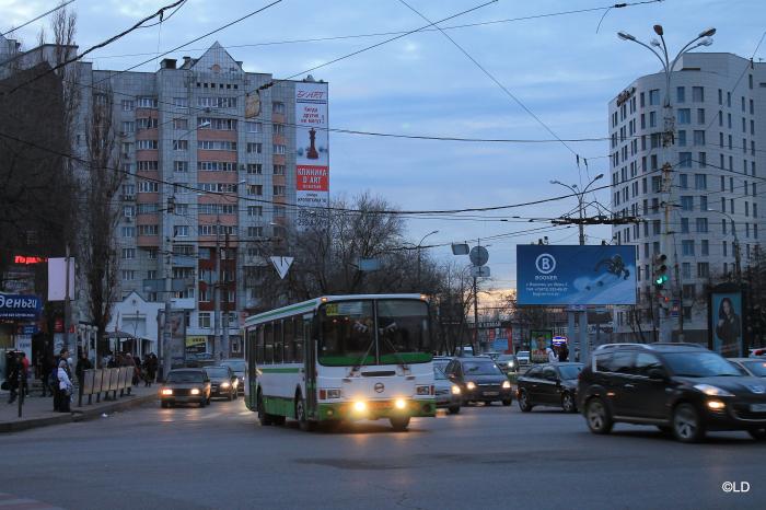
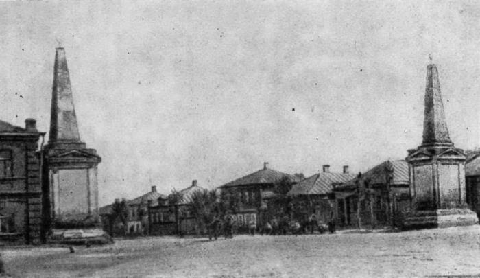
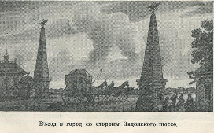
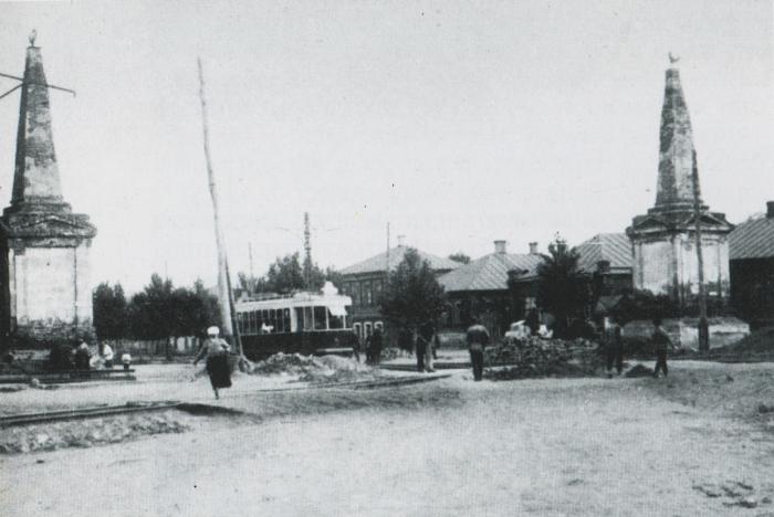
Historical boundaries of the city, now - the boundary of the city center. At this point, started Moscow highway. Road interchange.
Categories: Square
Categories: Square
Nearby cities:
Coordinates: 51°40'25"N 39°11'6"E
- Lenin Square 1.5 km
- Red Square 207 km
- Oleksandrivska square 276 km
- Maidan Ipodromu 277 km
- Maidan Zakhysnykiv Ukrainy 278 km
- Maidan Oboronnyi Val 279 km
- Maidan Heroiv Nebesnoi Sotni 279 km
- Maidan Svobody ('Freedom Square') 279 km
- Maidan Konstytutsii ('Constitution Square') 280 km
- Maidan Nezalezhnosti 401 km
- Plant for the production of the melted cheeses privately held company of " [Yantar]" 0.3 km
- ОЖ 118/2 0.4 km
- prospekt Truda, 65 korpus 2 0.7 km
- Centre 0.9 km
- The Voronezh Reservoir 2.3 km
- Leninskiy district 3.7 km
- Kominternovskiy district 5.7 km
- Tsentralny district 7.2 km
- Sovietskiy district 7.3 km
- Levoberezhny district 11 km