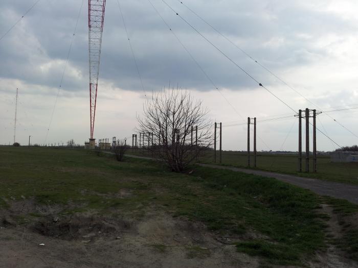
Lakihegy
Hungary /
Pest /
Halasztelek /
World
/ Hungary
/ Pest
/ Halasztelek
Världen / Ungarn /
Mast, Sendeanlage, 1946_construction (en), Funkturm
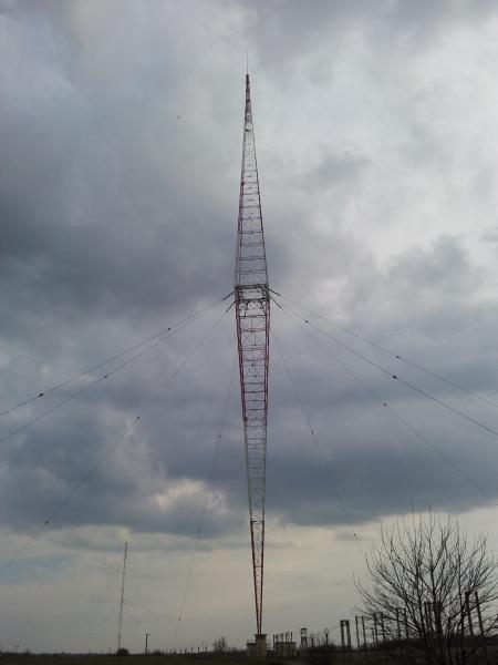


Wikipedia-Artikel: http://de.wikipedia.org/wiki/Lakihegy
Nearby cities:
Koordinaten: 47°22'23"N 19°0'17"E
- Sendeturm Heuberg-Mattersburg 206 km
- Richtfunkturm 229 km
- Sendeanlage Koralm 313 km
- Richtfunkturm Roßbrand 415 km
- Richtfunkturm Loferer Alm 479 km
- Sendeturm Kitzbüheler Horn 495 km
- UKW-Sendemast Ismaning 551 km
- Toranj na Dajbabskoj Gori 552 km
- Olympiaturm 564 km
- Radio Vaticano 800 km
- Budafok-Tétény 4.2 km
- Budapest-Csepel 7.4 km
- Csepel (Insel) 14 km