Lagoon La Mancha
Mexico /
Veracruz /
Zempoala /
World
/ Mexico
/ Veracruz
/ Zempoala
World / Mexico / Veracruz
lake, interesting place
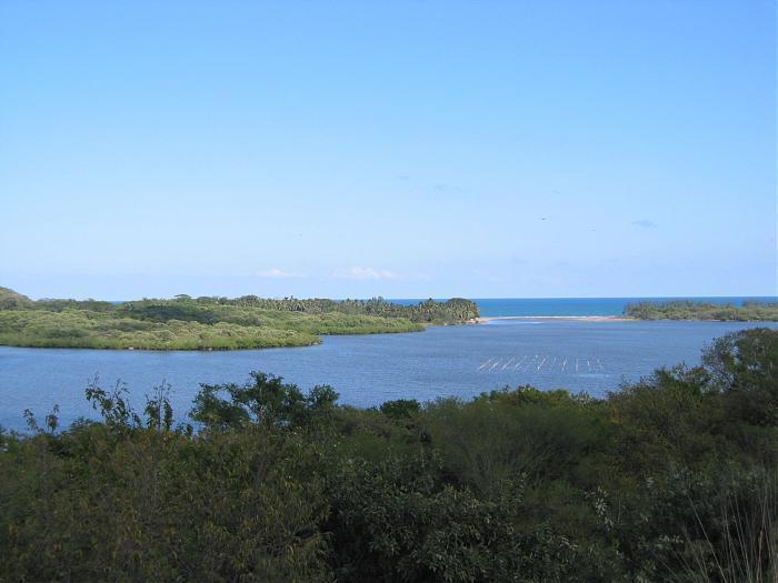
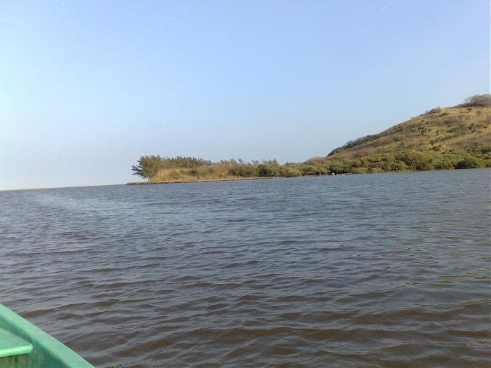
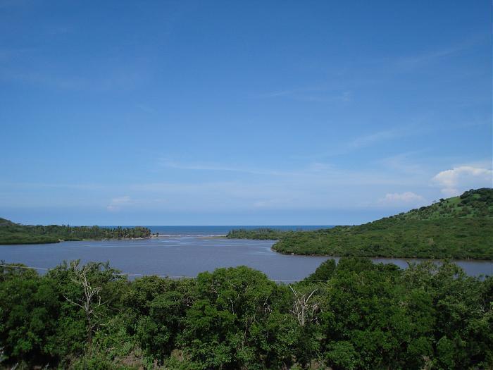
La Mancha is located in the coastal plains of the Gulf of Mexico in the state of Veracruz, Mexico, with a surface area of 1,567 square km. Hydrologically, it presents three areas: The north body which has partial communication with the marine waters of the gulf through an ephemeral sand barrier that usually closes during the characteristic “Nortes” or North winds season. A middle area known as El Crucero, considered a mixing zone and characterized by its narrowness. Finally, a south body marked by a strong continental influence given by El Caño Grande, a permanent stream. The opening and closing of the barrier has a great influence in the depth and water levels of the lagoon. Low productivity levels, turbid water and low water volume are characteristic of prolonged closings. The barrier action also influences salinity levels and temperatures, which can range from 5.7 to 17.1 parts per thousand and 17 to 32 degrees Celsius, respectively, during long closings, and reach salinities up to 35 parts per thousand during openings.
Nearby cities:
Coordinates: 19°35'22"N 96°23'10"W
- Quiahuiztlan Archeological site 10 km
- Zempoala Archaeological Ruins, Veracruz, Mexico 16 km
- Where "The River Is Born" area, a nice looking place 33 km
- Campamento santander 38 km
- Hotel La Villa 49 km
- Snake Hill - Cerro de las culebras 62 km
- Estromatolitos de la Laguna de Alchicica 109 km
- poblacion 117 km
- San Miguel Tenango 167 km
- playa aguas arcas...(aguas claras antes) 274 km
- Laguna El Farallón 4.9 km
- Casino El Farallon 5.8 km
- Campamento Farallon 5.9 km
- Iglesia 17 km
- Parque 17 km
- Rancho El Chapapote 27 km
- Buena Vista 27 km
- telesecundaria 30 km
- Pronamex fertilizer plant 30 km
- San Miguel Hotel 30 km