Dedoplistskaro
Georgia /
Kakheti /
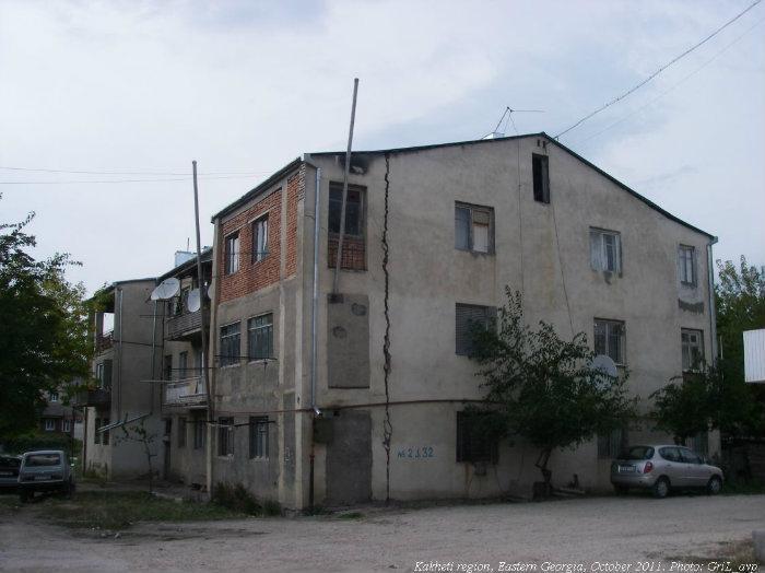
Tsnori /
World
/ Georgia
/ Kakheti
/ Tsnori
World / Georgia (country) / Kakheti
town
Add category


Dedoplistskaro (Georgian: დედოფლისწყარო) is a town in Kakheti, Georgia with the population of 7,724 (2002 Georgia census). The town is located in the Shiraki Lowlands, eastern Georgia, and functions as a center of the district of the same name.
The locale is first mentioned in the medieval annals as a military post established by King David IV of Georgia (r. 1089-1125). Tradition relates its name, literally meaning “the Queen’s spring” to Queen Tamar (r. 1184-1213). After the annexation of Georgia, Russians established a military fort in 1803 and renamed the village as Tsarskie Kolodtsy (Russian: Царские Колодцы), that is “the royal wells”. In 1869, the German entrepreneurs Carl Heinrich von Siemens and Ernst Werner von Siemens established an oil refinery near the village which functioned until the mid-1870s.[1]
The Soviet government changed the name into Tsitel-Tskaro (წითელწყარო; "Red Springs") and granted the settlement a town’s status in 1963. In 1991, the historical name of Dedoplis Tskaro was restored. Ruins of the medieval fortress of Khornabuji lie near the town. The Vashlovani State Reserve is also located within the Dedoplistskaro district.
Wikipedia article: http://en.wikipedia.org/wiki/Dedoplis_Tskaro
Nearby cities:
Coordinates: 41°27'49"N 46°6'28"E
- Privolzhskiy 1110 km
- Qo‘shko‘pir 1181 km
- Gurlan 1182 km
- Hazorasp 1246 km
- Ust-Kinelsky 1357 km
- Ayteke Bi 1375 km
- Saraktash 1388 km
- Lukhovka 1417 km
- Chishmy 1614 km
- Krasnogorsky 1839 km
- Mountain Elias 2.3 km
- Signaghi District 11 km
- Taribani Steppe 16 km
- Dedoplistskaro District 20 km
- Shiraki Plain 22 km
- Former USSR SA air force base "Shiraki" 24 km
- Galadara range 28 km
- Kasristskali area 35 km
- Vashlovani National Park 43 km
- Zagatala district 49 km