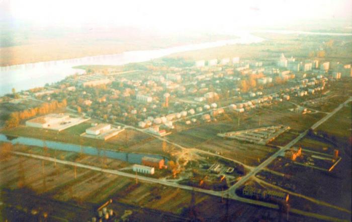
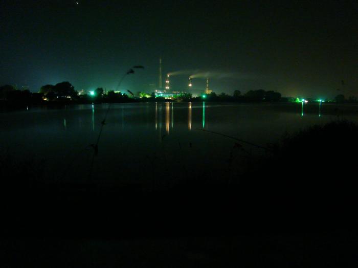
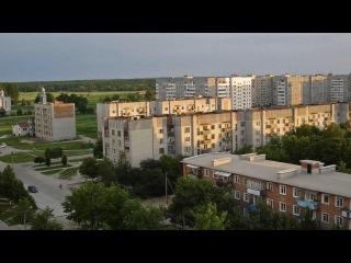
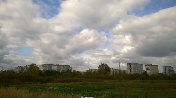
Wikimapia is a multilingual open-content collaborative map, where anyone can create place tags and share their knowledge.

Dobrotvir

Ukraine / Lvivska / Dobrotvir /

Nearby cities:
Coordinates:   50°12'22"N   24°23'6"E

Comments

  • artim (guest)
    Dobrotvir once was a village on the Eastern edge of the Austro-Hungarian Empiire. It was a Ukrainian village. With the tacit consent of the Austro-Hungarian government, local control was in the hands of Polish officials who were in place before Emperor Franz took over. During the Soviet era the village of Dobrotvir disappeared under water when a dam was built down-river on the Buh River.
  • artim (guest)
    Correction: it was Emperor Franz Josef.
  • Artim (guest)
    This is where my father's village was located,now under water. The semi-circular plume (west bank of lake) is evidence of waste water discharge.
  •  195 km
  •  398 km
  •  417 km
  •  466 km
  •  497 km
  •  517 km
  •  517 km
  •  531 km
  •  579 km
  •  719 km
This article was last modified 13 years ago