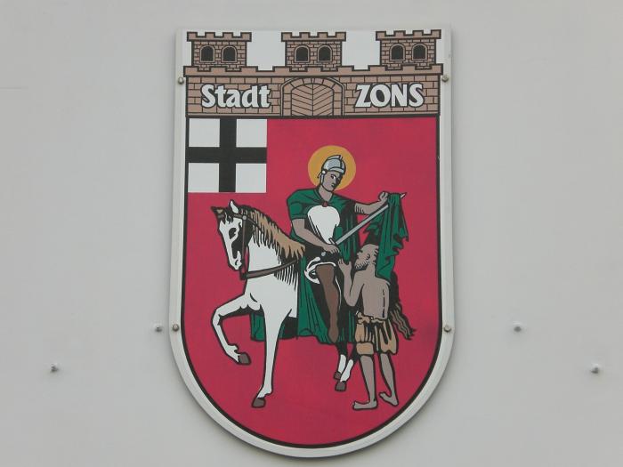
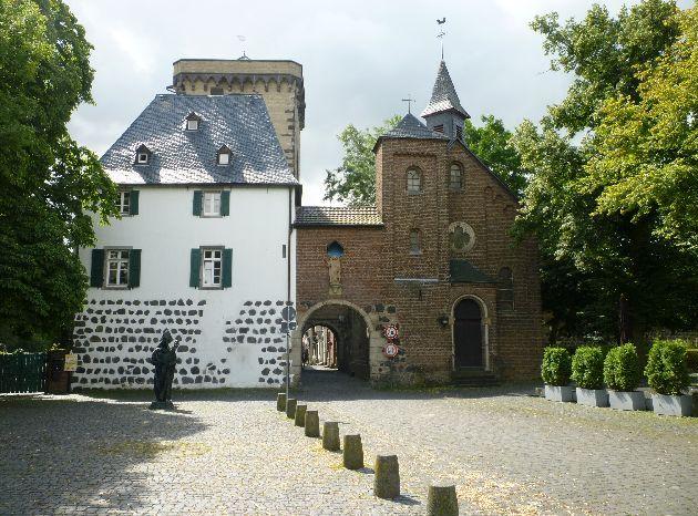
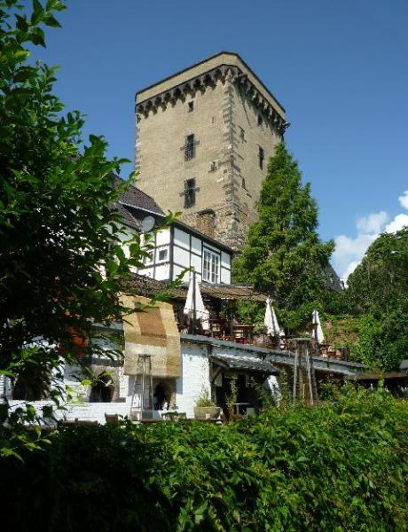
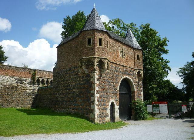
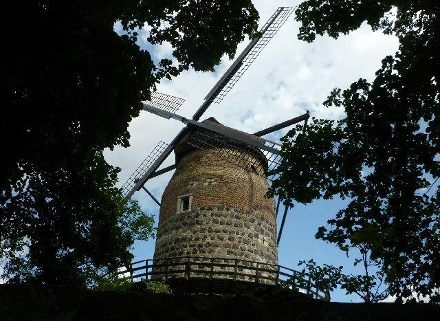
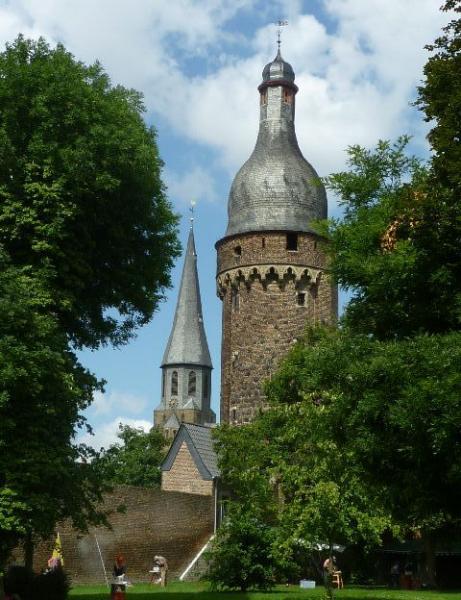
Zons (Dormagen)
Germany /
Nordrhein-Westfalen /
Dormagen
World
/ Germany
/ Nordrhein-Westfalen
/ Dormagen
World / Germany / Nordrhein-Westfalen / Düsseldorf
fortification, historic city center
Wikipedia article: http://en.wikipedia.org/wiki/Zons
Nearby cities:
Coordinates: 51°7'15"N 6°50'59"E
- Coal bunker 37 km
- Jülich Citadel 41 km
- Orsoy Fort 47 km
- Dragon's Teeth - Höckerlinie 68 km
- Sittard intra-muros 70 km
- Peellinie - World War 2 defenses 84 km
- Peellinie - World War 2 defenses 85 km
- Peellinie - World War 2 defenses 87 km
- The High Fronts 87 km
- Fort of Eben-Emael 90 km
- Raphaelsweg, 22 2.4 km
- Roseller Straße, 12 2.4 km
- Münterstraße, 13 2.8 km
- Modersohn-Becker-Straße, 1 2.9 km
- Liebermannstraße, 1 2.9 km
- Highway bridge with fire damage 3.5 km
- Electrical substation 4.1 km
- Bayer Chemipark Dormagen 5.6 km