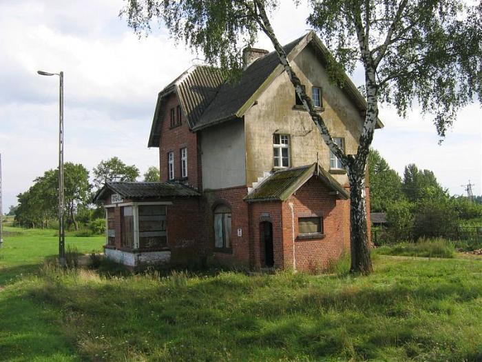
PKP Rogale
Poland /
Warminsko-Mazurskie /
Elk /
World
/ Poland
/ Warminsko-Mazurskie
/ Elk
World / Poland / Warmian-Masurian
abandoned / shut down, railway stop
Nearby cities:
Coordinates: 53°49'53"N 22°10'3"E
- PKP Skomack Wielki. 6.2 km
- PKP Pogorzel Wielka 14 km
- PKP Tuchlin 24 km
- PKP Zaręby Kościelne 122 km
- PKP Waplewo. 125 km
- PKP Sadowne Węgrowskie 138 km
- PKP Mława Miasto 144 km
- PKP Miłobądz 227 km
- Train stop 317 km
- Railway station Charnowo Słupskie 351 km
- Ancient Settlement 2.1 km
- Druglin 2.5 km
- Guzki 3.2 km
- Mołdzie 4.5 km
- Lepaki 4.6 km
- Woszczelskie Lake 5.5 km
- Lake Sunowo 7.6 km
- Szarek 10 km
- Ełk 220 kV Substation 12 km
- Ełckie Lake 12 km