Fernpass
Austria /
Tirol /
Imst /
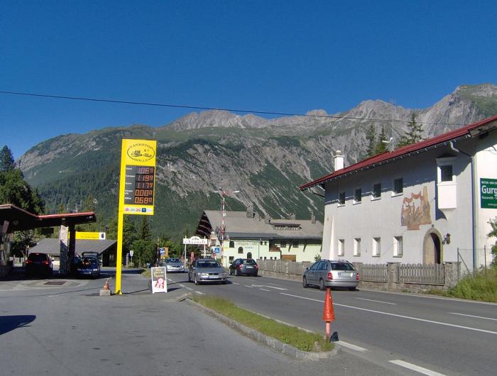
Fernpassstraße (B 179)
World
/ Austria
/ Tirol
/ Imst
World / Austria / Tirol
mountain pass
Add category
1212 m ü. NN.
Der Fernpass ist kein Bergrücken, sondern eine Schüttung aus einem gewaltigen Bergsturz von vor 12.000 Jahren
The pass was created when a huge mountain slide (actually the collapse of an entire mountain, with an estimated volume of 1,000 km3; the third-largest mountain slide ever in the eastern Alps) filled part of the valley to a height of 300-400 meters, distributing its boulders up to 16 km away. While it was initially believed that this had happened at least 12,000 years B.P.
Wikipedia article: http://en.wikipedia.org/wiki/Fern_Pass
Nearby cities:
Coordinates: 47°21'45"N 10°49'52"E
- Passo d'Eira 105 km
- Passo del Foscagno 107 km
- Forcola di Livigno 118 km
- Tonale Pass 124 km
- Pragel Pass 154 km
- Gotthard Pass, 2108m 194 km
- Via Tremola 194 km
- Bööler Pass 208 km
- Simplon Pass, 2008 m 247 km
- Colle delle Finestre 2.178 m AMSL 387 km
- Blindsee 1.3 km
- Gartnerwand 2.7 km
- Landewiese - Nassereith Nord 5.3 km
- Aschland, Obsteig, Tirol 6.7 km
- Thaneller (2,341 m/7,680 ft) 11 km
- Geierkopf West Summit 17 km
- Kellenspitze (2,238 m/7,343 ft) 21 km
- Schwangau 23 km
- Stubai Alps 40 km
- Tyrol (State) 56 km