Rosenheim
Germany /
Bayern /
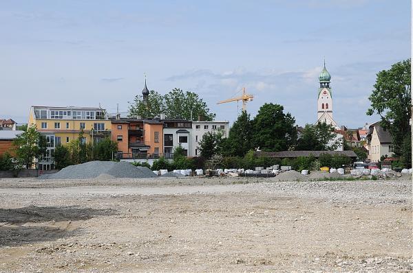
Kolbermoor /
World
/ Germany
/ Bayern
/ Kolbermoor
World / Germany / Bayern / Oberbayern
commune - administrative division, draw only border


The city of Rosenheim in Bavaria, Germany;
Wikipedia article: http://en.wikipedia.org/wiki/Rosenheim
Nearby cities:
Coordinates: 47°50'52"N 12°6'12"E
- Tarvisio 178 km
- Staranzano Municipality 249 km
- Marghera 263 km
- Mira Municipality 264 km
- Campagna Lupia Municipality 272 km
- Chioggia Municipality 280 km
- Correzzola Municipality 290 km
- Cona Municipality 294 km
- Cavarzere Municipality 298 km
- Rosolina Municipality 299 km
- Rosenheim station 1.3 km
- Multitest elektronische Systeme GmbH 1.7 km
- Ignaz-Günther-Gymnasium 1.7 km
- Max-Josefs-Platz 2 km
- SBR Campus 2 km
- Rosenheim University of Applied Sciences 2.2 km
- Sewage Treatment Plant Raubling 4.4 km
- SCA Recycling Deutschland GmbH 5.9 km
- Bad Aibling Train Station 7.6 km
- Gravel plant 8.5 km