Nanga Parbat (8125m)
| mountain, summit, Eight-Thousander
Pakistan /
Northern Areas /
Gilgit /
World
/ Pakistan
/ Northern Areas
/ Gilgit
World / Pakistan / Northern Areas / Northern Areas
mountain, summit, Eight-Thousander

Elevation: 8125 meters (26,657 feet)
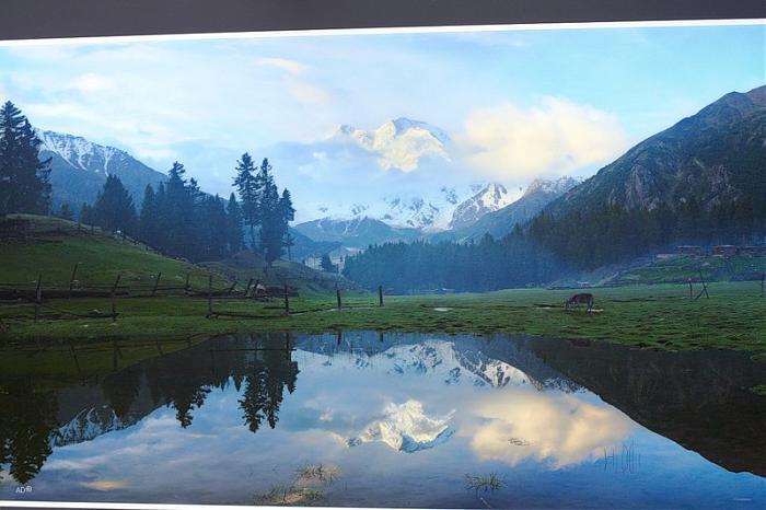
Nanga Parbat, (meaning Naked Mountain), is the 9th highest mountain peak in the world. Its vast snowy face is a powerful spectacle when seen from the arid Indus Valley, approaching the mountain from the west. Here the mountain towers in isolation over 22,000 feet from the valley floor. The mountain is easy to reach as the Karakoram Highway approaches the base of the mountain from the north, but is not so easy to climb. Unstable glaciers and frequent storms and avalanches have proved hazardous, most notably to the German party who first attempted the peak. Herman Buhl successfully reached the summit. Many other climbers have subsequently been killed on this mountain.
peakbagger.com/peak.aspx?pid=10603
Wikipedia article: http://en.wikipedia.org/wiki/Nanga_Parbat
Nearby cities:
Coordinates: 35°14'31"N 74°35'19"E
- Mazeno Ridge 6.7 km
- Gangs Singy 72 km
- Malubiting Massif (Max. Elevation of several peaks 7453 m) 93 km
- Palgad 100 km
- Kachh Gali Mountains 105 km
- Bungus Valley 109 km
- Shamshabari Range 113 km
- Beautiful Mountains 121 km
- Musa ka Musalla 127 km
- Tupopdan mountain ridge (highest point 6106 m) 153 km
- Diamir Face 1.6 km
- Rupal Face 2.6 km
- Mazeno Wall 4.9 km
- Diama Glacier 5 km
- Diamir glacier 7.2 km
- Chhungphar Glacier 9 km
- Rakhiot Glacier 9 km
- Chongra Glacier 11 km
- Rupal Glacier 14 km
- Sachen Glacier 18 km
Comments