Official Source of the Mississippi River
| river source, geodetic point
USA /
Minnesota /
Solway /
World
/ USA
/ Minnesota
/ Solway
World / United States / Minnesota
river source, geodetic point
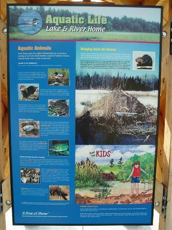
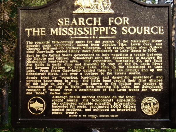
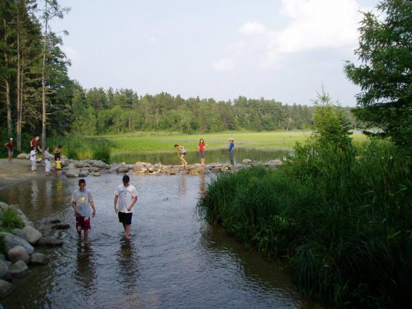
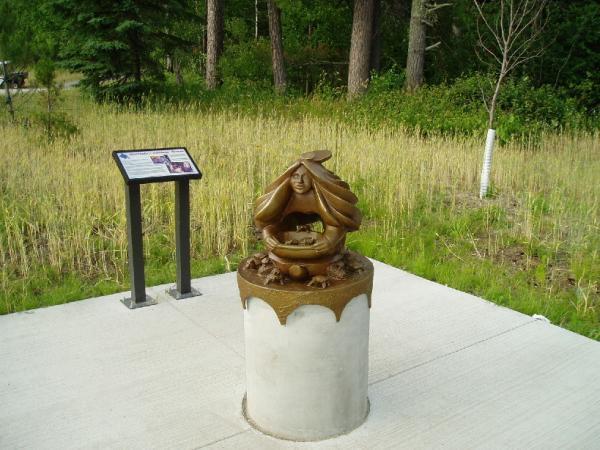
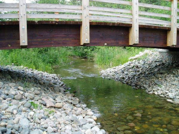
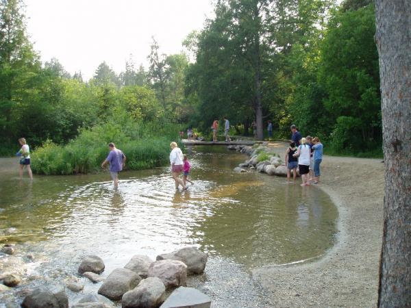
The Mississippi River begins the 2,340 mile journey to the Gulf of Mexico at the northern tip of Lake Itasca. It is the second longest river in the United States, only the 2,540 mile Missouri River is longer.
The Mississippi runs northward from Lake Itasca to Bemidji before turning east and then southward.
users.stlcc.edu/jangert/itasca/headwtr.html
The Mississippi runs northward from Lake Itasca to Bemidji before turning east and then southward.
users.stlcc.edu/jangert/itasca/headwtr.html
Wikipedia article: http://en.wikipedia.org/wiki/Mississippi_River
Nearby cities:
Coordinates: 47°14'23"N 95°12'27"W
- Lake Abitibi 1126 km
- Heading-Lake (Again-River, Ont.) 1192 km
- Head of Pontax III River 1374 km
- Baskatong Reservoir 1445 km
- Lacs des Loups Marins 1729 km
- Lake Minto 1748 km
- Lake Michie 1826 km
- Lake Plétipi 1860 km
- Medina River Headwaters 1980 km
- Headstreams of River Ribble 6106 km
- Lake Itasca 2.7 km
- Itasca State Park 5.3 km
- Uper Rice Lake 18 km
- Camp Wilderness, BSA 26 km
- Plantagenet Lake 27 km
- Paul Bunion State Forest 27 km
- Elbow Lake 28 km
- Many Points Lake 31 km
- Many Point Scout Camp 31 km
- Round Lake 34 km