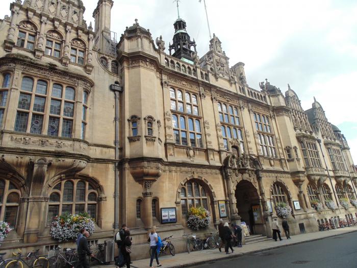
Oxford Town Hall (Oxford)
United Kingdom /
England /
Oxford /
St Aldate's, 1
World
/ United Kingdom
/ England
/ Oxford
World / United Kingdom / England
town hall
Add category
Wikipedia article: http://en.wikipedia.org/wiki/Oxford_Town_Hall
Nearby cities:
Coordinates: 51°45'5"N 1°15'24"W
- South Ruislip Estate 63 km
- Girdlestone Estate 80 km
- County Hall, Leicestershire County Council 101 km
- County Hall 132 km
- Mansfield Civic Centre 156 km
- Derbyshire County Council Offices & County Hall 156 km
- Dronfield Civic Centre 173 km
- Flintshire county council 204 km
- Salford Town Hall 209 km
- North Yorkshire County Council HQ 288 km
- Christ Church Meadow 0.7 km
- Worcester College (University of Oxford) 0.8 km
- Addison's Walk 1 km
- Iffley Road Sports Complex 1.2 km
- The Kidneys Nature Reserve 1.5 km
- South Park 1.8 km
- Oxford Brookes University Gipsy Lane Campus 2.1 km
- Hinksey Heights Golf Club 2.8 km
- Headington 2.8 km
- Cowley 3.6 km