View from Bridge Kiến An (Hai Phong)
Vietnam /
Dong Bang Song Hong /
Hai Phong
World
/ Vietnam
/ Dong Bang Song Hong
/ Hai Phong
World / Vietnam / Đồng Bằng Sông Hồng / Hải Phòng / Kiến An
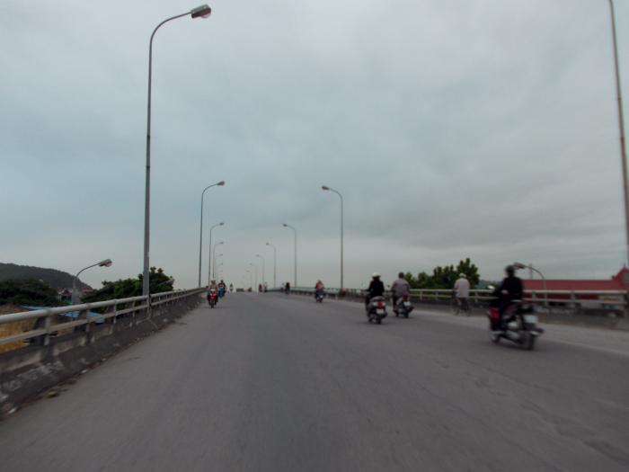
road bridge
Add category

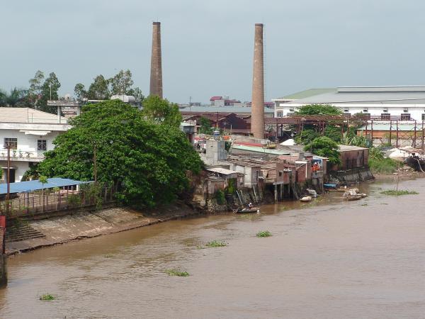
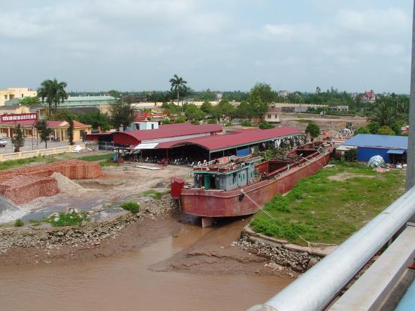
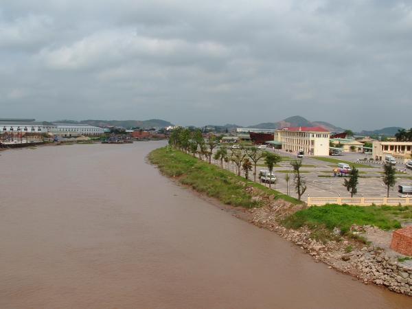
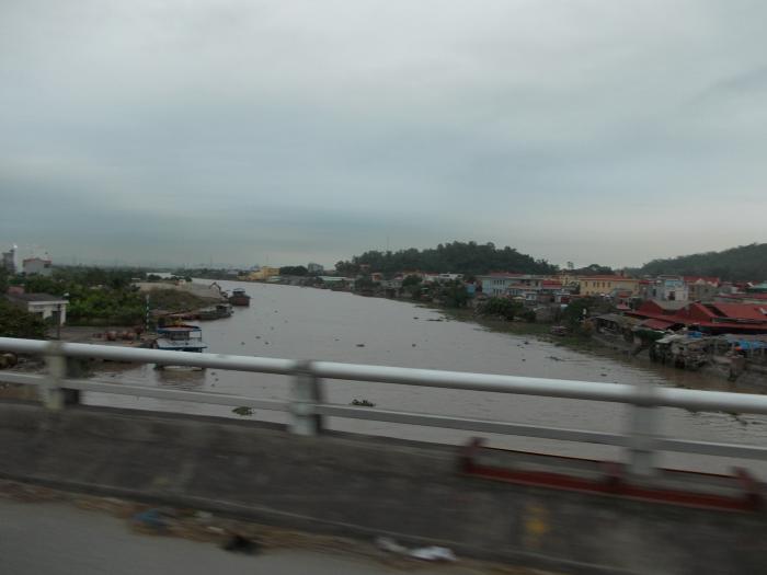
Pictures taken from the bridge to the west side.
Ship in dry channel on the north bank, factories on the south bank.
Also picture from the mountain south of the bridge (~1250m) with buildings on top for communication and other purposes.
Ship in dry channel on the north bank, factories on the south bank.
Also picture from the mountain south of the bridge (~1250m) with buildings on top for communication and other purposes.
Nearby cities:
Coordinates: 20°49'0"N 106°37'25"E
- Khue Bridge.. 9 km
- Kien Bridge 11 km
- Cau Quy Cao- Brigde 15 km
- Hiep bridge 36 km
- Pha Lai bridge 48 km
- THI CAU bridges 71 km
- Thanh Tri Bridge 79 km
- Vinh Tuy Bridge 81 km
- Thang Long Bridge 93 km
- Vinh Thinh Bridge 125 km
- Kien An District 1.8 km
- Dong Thai Commune 3.2 km
- Van Dau Ward 3.7 km
- Thai Son Commune 3.8 km
- Dang Cuong Commune 3.9 km
- Da Phuc Quarter 5 km
- An Lao District 7.3 km
- An Duong District 8 km
- Duong Kinh District 10 km
- Tien Lang 12 km