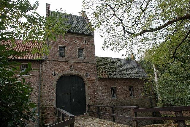
Tielen
Belgium /
Antwerpen /
Kasterlee /
World
/ Belgium
/ Antwerpen
/ Kasterlee
World / Belgium / Vlaanderen / Antwerpen / Turnhout
village, draw only border
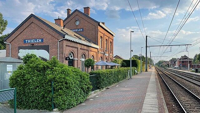
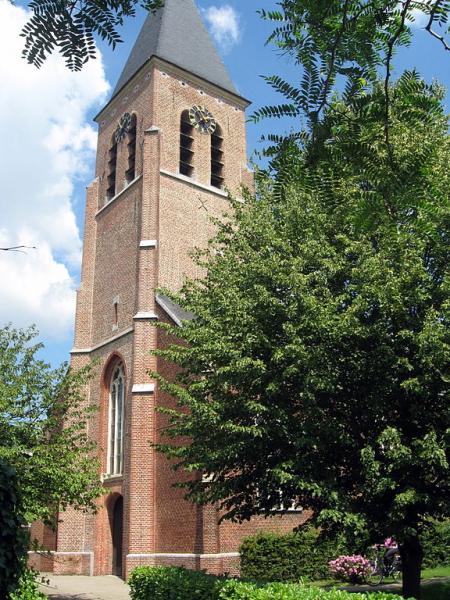
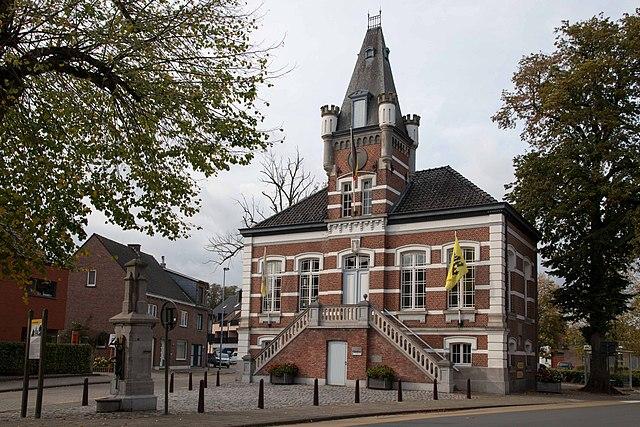

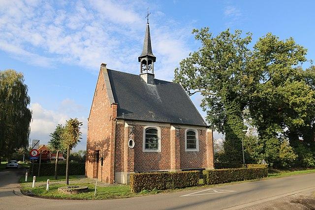
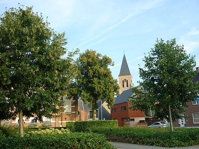
Tielen is a village in the Belgian province of Antwerp and a sub-municipality of Kasterlee. The village is located in the Antwerp Kempen, between the provincial towns of Herentals and Turnhout. Tielen was an independent municipality until the municipal reorganization of 1977.
The village was probably founded by the Franks. It is possible that the village was founded as early as the 4th century. The oldest village center, Opstal, is in any case designed as a typical Frankish settlement.
Tielen was mentioned in 1286 on the foundation deed of the hospital of Geel. However, that original deed has been lost and in the oldest known copy, from 1553, the spelling Thielen is used.
Wikipedia article: https://en.wikipedia.org/wiki/Tielen
Nearby cities:
Coordinates: 51°15'9"N 4°53'45"E
- Baarle-Nassau 27 km
- Hoogstraten (municipality) 32 km
- Wuustwezel (municipality) 34 km
- Alphen-Chaam 35 km
- Zundert (municipality) 42 km
- Breda 46 km
- Antwerp (municipality) 49 km
- Beveren (Municipality) 53 km
- Roosendaal (municipality) 54 km
- Bergen op Zoom (municipality) 59 km
- Quarters Kapitein Pierre Gailly 2.1 km
- Zwart Water 4.7 km
- Eerselingen 5.2 km
- Bobbejaanland 5.8 km
- Mosselgoren 6.8 km
- Sassenhout 7.3 km
- Umicore Cobalt & Specialty Materials, Belgium 7.9 km
- Plein 8.9 km
- Airfield Zoersel 10 km
- Quarters Den Troon 12 km