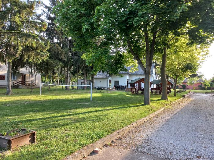
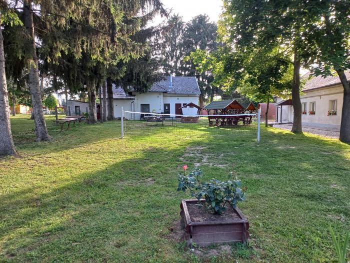
School area (Balatonberény)
Hungary /
Zala /
Vonyarcvashegy /
Balatonberény
World
/ Hungary
/ Zala
/ Vonyarcvashegy
school yard
Add category
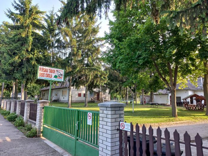
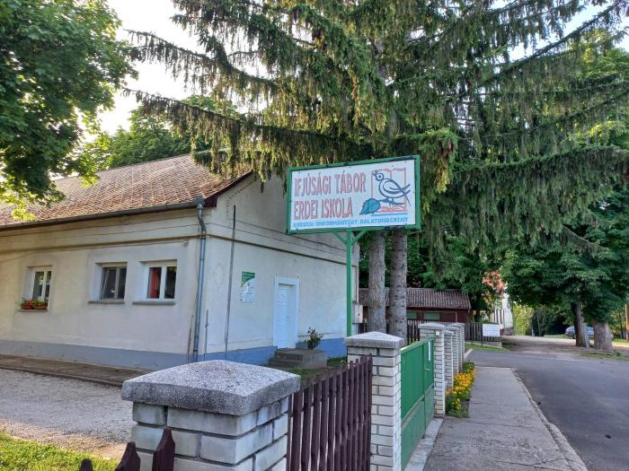
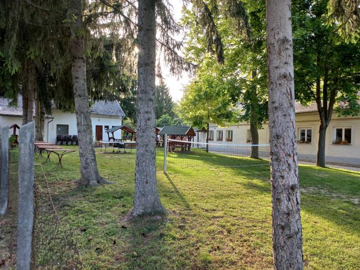
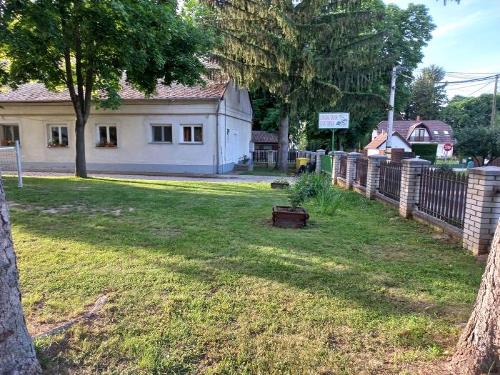
Általános Iskola.
Nearby cities:
Coordinates: 46°42'45"N 17°19'20"E
- School ground 161 km
- School ground 166 km
- School ground 178 km
- School ground 183 km
- Schoolyard 230 km
- School ground 239 km
- School ground 420 km
- School ground 423 km
- School ground 423 km
- School No20 430 km
- Naturist Beach and Camp Site 0.8 km
- Camping 4.5 km
- Saint Mihály Hill 4.5 km
- Lido strand 4.6 km
- Fenékpuszta Bird Ringing Camp 6.4 km
- Cemetery 7.8 km
- Golfclub Imperial Balaton 8.1 km
- Town Hospital 8.3 km
- Festetics Palace 9 km
- Lake Balaton 35 km