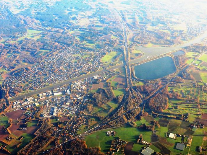
Oelegem
Belgium /
Antwerpen /
Schilde /
World
/ Belgium
/ Antwerpen
/ Schilde
World / Belgium / Vlaanderen / Antwerpen / Antwerpen
village, draw only border
The part-municipality Oelegem is merged with the municipality of Ranst.
It was an independent commune till the end of 1976.
Oelegem has an area of 13,16 km² and enrolled in 2004 4394 inhabitants.
It was an independent commune till the end of 1976.
Oelegem has an area of 13,16 km² and enrolled in 2004 4394 inhabitants.
Nearby cities:
Coordinates: 51°13'5"N 4°35'54"E
- Wuustwezel (municipality) 25 km
- Baarle-Nassau 32 km
- Hoogstraten (municipality) 32 km
- Antwerp (municipality) 32 km
- Beveren (Municipality) 35 km
- Zundert (municipality) 37 km
- Alphen-Chaam 39 km
- Roosendaal (municipality) 44 km
- Breda 47 km
- Bergen op Zoom (municipality) 47 km
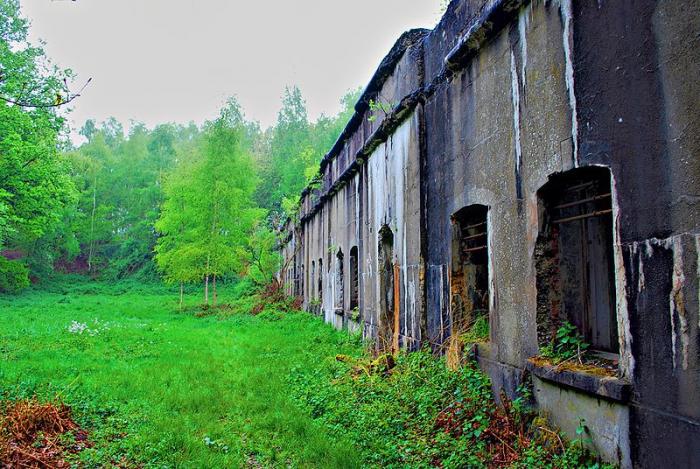
- Fortress Oelegem 1.3 km
- Massenhoven 380 kV Substation 3.3 km
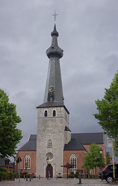
- Fortress Broechem 4.7 km
- Fortress ‘s Gravenwezel 4.9 km
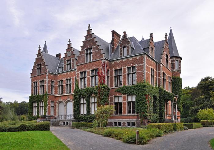
- s'Gravenwezel Castle 5 km
- Golf and Country Club Rinkven 7.2 km
- Westmalle Abbey 8.5 km
- FINGO WELFSELS NV 11 km
- Airfield Zoersel 12 km
- Quarters Den Troon 13 km