Bijindo
Korea (South) /
Kyongsangnam /
Tongyong /
World
/ Korea (South)
/ Kyongsangnam
/ Tongyong
World / South Korea / Gyeongsangnam-do
island
Add category
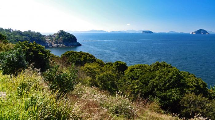
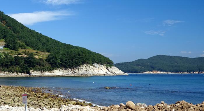
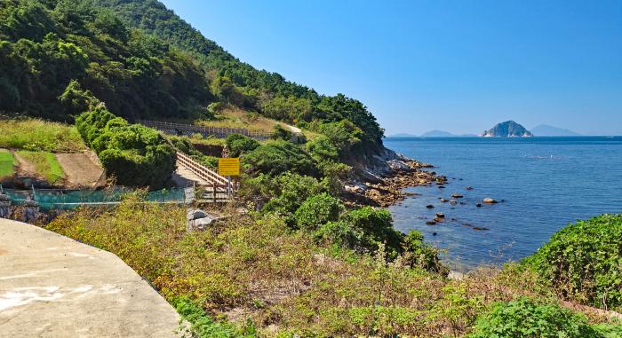
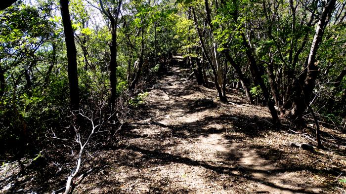
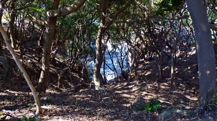
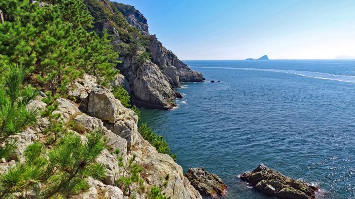
Bijindo, or Bijin Island, is popular with tourists because of the hiking trail and white sandy beach. The island that is shaped like an hourglass is connected by a narrow isthmus that has a narrow road and beach. A few people come here and camp along the trees next to the beach.
Nearby cities:
Coordinates: 34°43'8"N 128°27'34"E
- Mireukdo (Mireuk Island) 18 km
- Geojedo 36 km
- Tsushima Island 65 km
- Namhae Island 65 km
- Tolsan Island 69 km
- Geoguemdo 127 km
- Pyeongil (평일도) 140 km
- Gogeumdo (고금도) 160 km
- Sinjido (Island - 신지도) 162 km
- Wando (Island - 완도) 171 km
- Bijindo Beach 0.1 km
- Bijindo Harbor 0.2 km
- Bijindo Beltfish Rock 1.5 km
- Yeondae-maeul Harbor 6.2 km
- Manji-maeul Port 6.9 km
- Manjido Yokjido Viewpoint 7.6 km
- Yeonhwado Yeongmeori 12 km
- Yeonhwa-ri Harbor 13 km
- Bodeokam 13 km
- Yeonhwabong 13 km