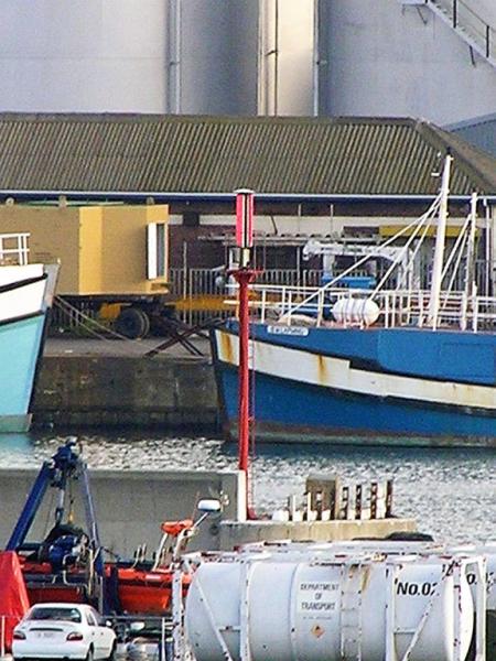
CAPE TOWN Elliot Basin Springbok Quay Head light (Cape Town)
South Africa /
Western Cape /
Cape Town
World
/ South Africa
/ Western Cape
/ Cape Town
basin (geographical), navigation beacon - marine
Nearby cities:
Coordinates: 33°55'3"S 18°26'58"E
- Richards Bay South Breakwater Light 1415 km
- Richards Bay North Breakwater Light 1415 km
- Ponte Zanguilles light 5071 km
- Naval Communication Station Harold E. Holt 9182 km
- Hobart Control Tower 10032 km
- Fort West light Hume Tower light Murray Tower light Queenscliff Lower Lighthouse 10269 km
- Breakwater 10954 km
- Distrik Navigasi Kelas III Kendari 11067 km
- Stoney Point Light 11745 km
- Island Point Light 12101 km
- Foreshore 0.3 km
- Woodstock 1 km
- Duncan Dock 1.4 km
- Salt River 2 km
- Zonnebloem 2.3 km
- Cape Town City Centre 2.5 km
- Victoria & Alfred Waterfront 2.7 km
- Green Point 3.9 km
- Gardens 4.1 km
- Table Bay 6.8 km