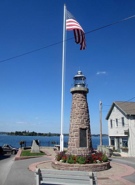
St. Lawrence River / Clayton Lighthouse (Village of Clayton, New York)
USA /
New York /
Clayton /
Village of Clayton, New York /
Mary Street
World
/ USA
/ New York
/ Clayton
landmark, lighthouse, NRHP - National Register of Historic Places

Nearby cities:
Coordinates: 44°14'33"N 76°5'17"W
- Île Ste-Thérèse Upper Range 261 km
- Contrecoeur-Verchères Range 288 km
- Port Saint-François Range 354 km
- Bécancour Range 370 km
- Gentilly Range 385 km
- Pointe des Grondines Range 408 km
- Beavertail State Park 492 km
- Rivière Valin Range 612 km
- Baker Island - Acadia National Park 628 km
- Mount Desert Rock Lighthouse 636 km
- Grindstone Island 4.5 km
- Town of Clayton, New York 4.6 km
- Picton Island 4.8 km
- Fisher's Landing, NY 7.2 km
- Orleans, New York 9 km
- Wellesley Island State Park 10 km
- Navy Islands 11 km
- Lake of the Isles 13 km
- Alexandria, New York 19 km
- Municipality of Leeds and the The Thousand-Islands 26 km