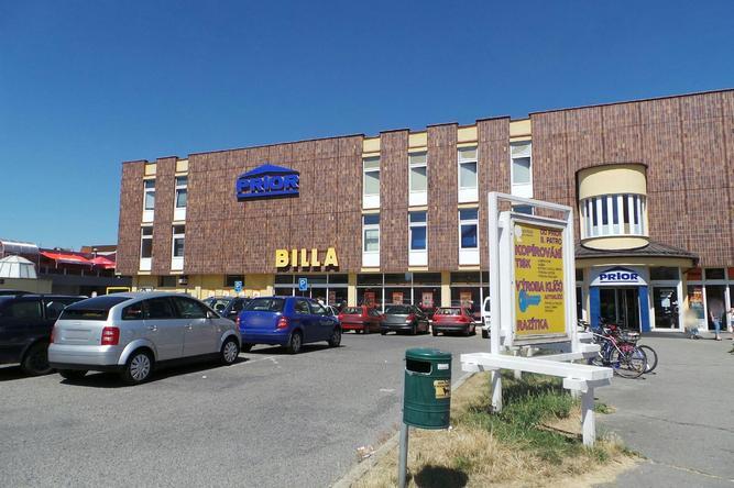
BILLA (Strakonice)
Czech Republic /
Jihocesky /
Strakonice /
Na Ohradě, 2
World
/ Czech Republic
/ Jihocesky
/ Strakonice
obchod s potravinami, supermarket
Nejbližší města:
Souřadnice: 49°15'28"N 13°54'21"E
- Kaufland-hypermarket 47 km
- Discont LIDL 47 km
- Super Market Billa 48 km
- Lidl 65 km
- Supermarket COOP Postřekov 83 km
- Městská tržnice - Albert 132 km
- Lidl 132 km
- Tesco 133 km
- Teplárna Strakonice 0.3 km
- Blatský rybník 0.5 km
- RUMPOLD, s.r.o. 0.9 km
- Letiště Strakonice 1.3 km
- Vojenský útvar STRAKONICE 1.6 km
- Dolní Řepický Rybník 2.6 km
- Horní Řepický rybník. 3.9 km
- Kněží hora u Katovic 7.1 km
- Bitva u Sudoměře 12 km
- Železniční stanice Horažďovice-předměstí 15 km