Bunker (Quend-Plage)
France /
Picardie /
Fort-Mahon-Plage /
Quend-Plage /
rue Capet
World
/ France
/ Picardie
/ Fort-Mahon-Plage
Seconde guerre mondiale (1939-1945), bunker
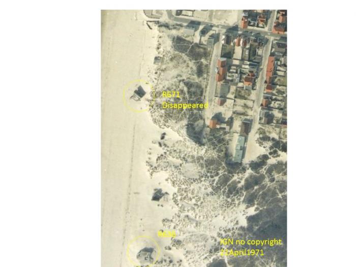
Stp Quend Plage Quend Plage, type 636
Article dans Wikipedia: http://fr.wikipedia.org/wiki/Mur_de_l'Atlantique
Villes proches:
Coordonnées : 50°19'10"N 1°32'43"E
- Saint-Quentin-en-Tourmont 5.1 km
- Baie d'Authie 7.1 km
- Golf de Nampont 14 km
- Merlimont-Plage 16 km
- Stella-Plage 18 km
- Golf du Touquet 20 km
- Trépied 21 km
- Le Touquet-Paris-Plage 23 km
- Bréxent-Énocq 24 km
- Estuaire de la Canche 25 km