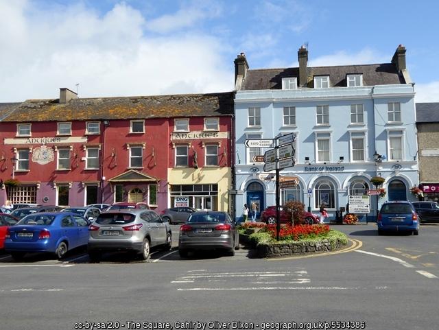
The Square (Cahir (Cathair Dhún Iascaigh))
| town square
Ireland /
Tipperary South Riding /
Cahir /
Cahir (Cathair Dhún Iascaigh) /
Castle Street (R640)
World
/ Ireland
/ Tipperary South Riding
/ Cahir
town square
Add category
Wikipedia article: https://en.wikipedia.org/wiki/Cahir#History
Nearby cities:
Coordinates: 52°22'29"N 7°55'27"W
- Liberty Square 35 km
- St George's Square 351 km
- St Annes-on-the-Sea Town Square 361 km
- Queen Square 380 km
- Market Place 400 km
- Bullring Plaza 409 km
- Billingham Town Square 504 km
- Lintot Square 543 km
- Place de la République ["Republique Square"], formerly Place Royale ["Royal Square"] 639 km
- Place des Quinconces 996 km
- Glen of Aherlow (Gleann Eatharlaí) 12 km
- Galtee Mountains (Na Gaibhlte) 12 km
- Knockmealdown Mountains (Sléibhte Chnoc Mhaoldomhnaigh) 16 km
- Comeragh Mountains (Na Comaraigh) 22 km
- County Tipperary (Contae Thiobraid Árann) 34 km
- County Waterford (Contae Phort Láirge) 35 km
- Drum Hills (Drom Fhinín) 40 km
- Nagles Mountains / Sliabh an Nóglaigh 48 km
- County Limerick (Contae Luimnigh) 59 km
- County Cork (Contae Chorcaí) 91 km
Glen of Aherlow (Gleann Eatharlaí)
Galtee Mountains (Na Gaibhlte)
Knockmealdown Mountains (Sléibhte Chnoc Mhaoldomhnaigh)
Comeragh Mountains (Na Comaraigh)
County Tipperary (Contae Thiobraid Árann)
County Waterford (Contae Phort Láirge)
Drum Hills (Drom Fhinín)
Nagles Mountains / Sliabh an Nóglaigh
County Limerick (Contae Luimnigh)
County Cork (Contae Chorcaí)