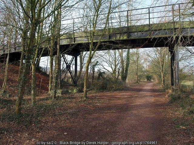
Black Bridge
United Kingdom /
England /
Tiverton /
Route of GWR Tiverton Branch Line
World
/ United Kingdom
/ England
/ Tiverton
road bridge
Add category
Reference: maps.nls.uk/geo/explore/side-by-side/#zoom=18&lat=50.90...
Photo: www.geograph.org.uk/photo/1764961
Photo: www.geograph.org.uk/photo/1764961
Wikipedia article: https://en.wikipedia.org/wiki/Bristol_and_Exeter_Railway#Tiverton_branch
Nearby cities:
Coordinates: 50°54'6"N 3°26'44"W
- Road Bridge 27 km
- Obridge Viaduct 28 km
- Barnstaple Old Bridge 47 km
- M4 Ogmore Viaduct 71 km
- St. Julians Bridge 84 km
- "New" Briton Ferry Bridge (M4) 86 km
- site of former Crumlin Viaduct 89 km
- Carmarthen Bridge 122 km
- Glasbury Bridge 128 km
- Garreg Ddu Viaduct 152 km
- Blundell's School, Tiverton 1.4 km
- Tiverton Golf Club 1.5 km
- Cranborne Castle 2.7 km
- Heathcoats Factory 3.3 km
- Tiverton High School 3.5 km
- Sewage Treatment Works 3.6 km
- Knightshayes Court 3.8 km
- Ayshford Solar Field 7.5 km
- Westleigh Quarry 9 km
- Somerset 41 km