Korte
Slovenia /
Gorenjska /
Preddvor /
World
/ Slovenia
/ Gorenjska
/ Preddvor
valley, hamlet
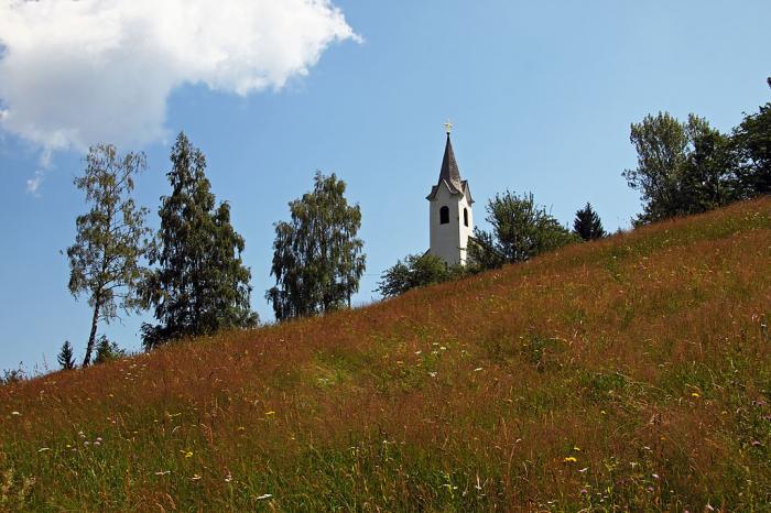
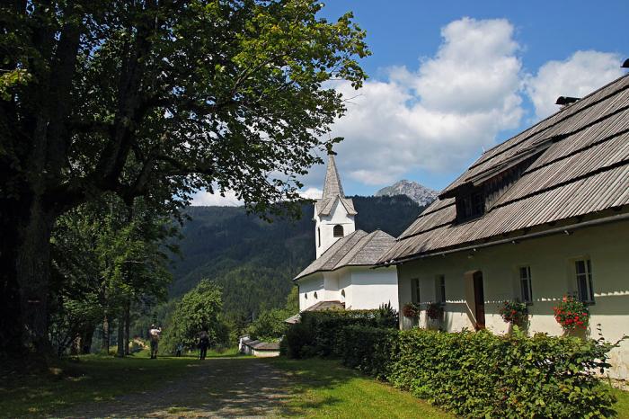
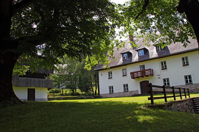
A remote valley in the Karawanks. Its centre is at the Pristovnik farm, where also a small church stands.
Nearby cities:
Coordinates: 46°26'54"N 14°29'42"E
- Former border crossing. 4.1 km
- St. Andrew's church in Jezersko 4.8 km
- Pavličevo sedlo 6.6 km
- Grintovec, 2558 m 11 km
- Logarska dolina 12 km
- Bridge 14 km
- Rinka 16 km
- Alpengasthof Riepl-Lenzhofer 17 km
- Luschaalm / Planina Luža 18 km
- State of Carinthia 58 km