Tagundaing
Myanmar /
Sagaing /
Kalay /
World
/ Myanmar
/ Sagaing
/ Kalay
city, town, village
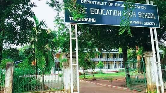
Tagundaing (Burmese: တံခွန်တိုင်; MLCTS: tam hkwan tuing [dəɡʊ̀ɴ dàiɴ]; S'gaw Karen: စံင်မံင်ထုင်း Karen [zə mʊ̀ɴ tʰum], also spelled Tagondaing) is a large village in the Kayin State of south-eastern Myanmar, located near the west bank of the Winyaw River and the west of the Kyain Seikgyi Township, Kawkareik District.
Wikipedia article: https://en.wikipedia.org/wiki/Tagondaing
Nearby cities:
Coordinates: 16°3'59"N 97°54'26"E
- Taung-Di 7.8 km
- Pathein 24 km
- Kanyin 34 km
- Khonkhan 48 km
- Mai-Dung 52 km
- Thaung Kone (Hill)Village 177 km
- Wetkaik Village 185 km
- Taw Gyaung Town 217 km
- Ah Pound Village 238 km
- Kyone KaDun 243 km
- Wonnrak Non 5.6 km
- Swamp 6.1 km
- Non Yar Sa 6.8 km
- Naungyote-In 11 km
- Winpanôn Chaung Reservoir 14 km
- Kwanhlar 18 km
- small community 26 km
- River side community 27 km
- Azin Reservoir 28 km
- Teekalaw 55 km
Comments