Warka
Poland /
Mazowieckie /
Warka /
World
/ Poland
/ Mazowieckie
/ Warka
World / Poland / Masovian
city
Add category
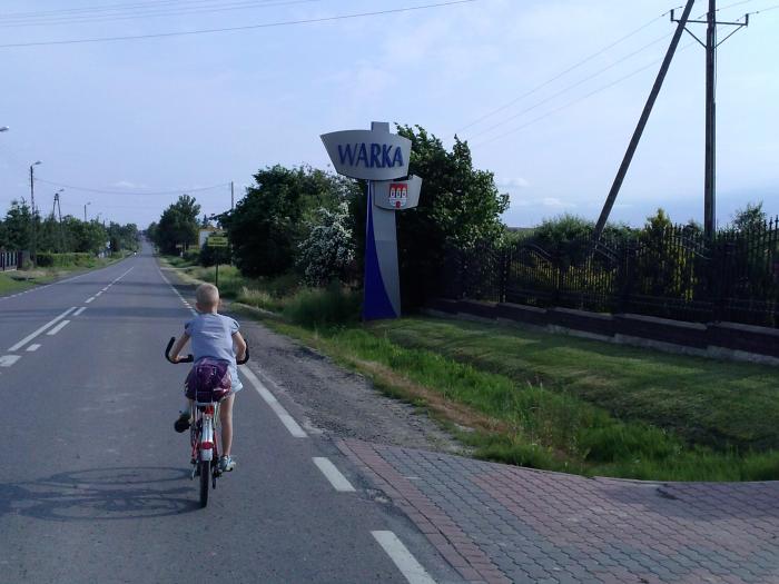
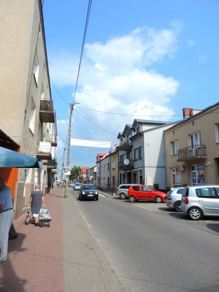
Warka is a town in central Poland, located on the left bank of Pilica river (60 kilometers south of Warsaw), with 11,035 inhabitants (2004). It has been situated in Grójec County, in Masovian Voivodeship, since 1999; previously it was in Radom Voivodeship from 1975 to 1998.
Wikipedia article: http://en.wikipedia.org/wiki/Warka
Nearby cities:
Coordinates: 51°47'7"N 21°10'33"E
- Radom 35 km
- Otwock 41 km
- Zielonka 60 km
- Puławy 62 km
- Warsaw 70 km
- Skarżysko-Kamienna 72 km
- Sochaczew 87 km
- Ostrowiec Świętokrzyski 89 km
- Kielce 107 km
- Piotrkow Trybunalski 114 km
- Bus Stop 0.7 km
- Volleyball court 1.1 km
- Playground 1.1 km
- Farma "Sielanka" 3.4 km
- дорога траса 22 422021 05 01 11 km
- Bridge 13 km
- Dobieszyn Railway halt 17 km