Kozelets Raion
Ukraine /
Chernihivska /
Oster /
World
/ Ukraine
/ Chernihivska
/ Oster
, 11 km from center (Остер)
district, second-level administrative division, draw only border
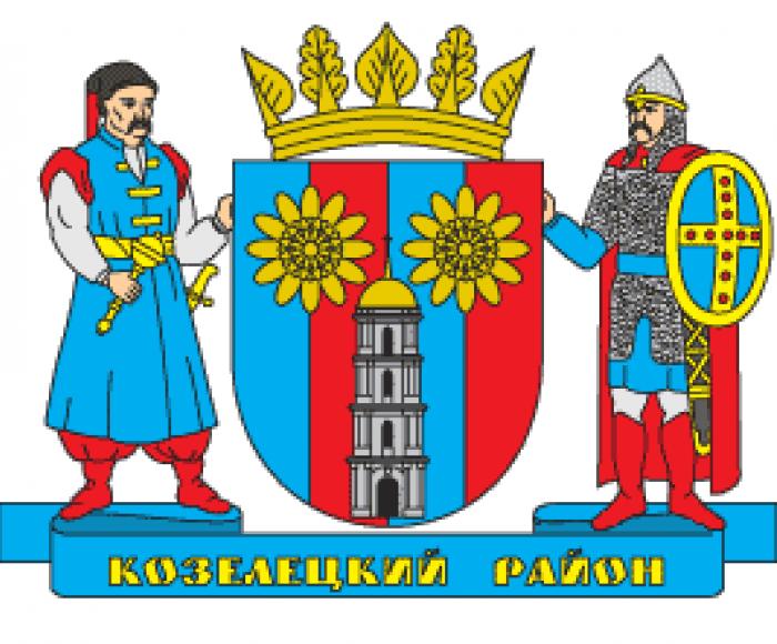

Kozelets Raion (Ukrainian: Козелецький район, Kozelets'kyi raion) is one of the 22 administrative raions (a district) of Chernihiv Oblast in northern Ukraine. Its administrative center is located at the urban-type settlement of Kozelets. Its population was 61,636 in the 2001 Ukrainian Census. Current population: 46,193 (2015 est.).
Wikipedia article: https://en.wikipedia.org/wiki/Kozelets_Raion
Nearby cities:
Coordinates: 51°0'35"N 30°57'51"E
This article is protected.
- Nizhyn Raion 51 km
- Prylutskyi Raion 68 km
- Chernihivskyi Raion 82 km
- Ripky Raion 126 km
- Koriukivka Raion 140 km
- Bila Tserkva Raion 140 km
- Romny Raion 146 km
- Novhorod-Siverskyi Raion 191 km
- Hlobyne Raion 193 km
- Korosten Raion 200 km
- Club 1.7 km
- Bile Boloto stow 2.7 km
- Myzhchyn stow 4.1 km
- Vorota stow 5.3 km
- Animal farm ruins 5.7 km
- Deshki. Kalinina 52 6.5 km
- Electrical substation 35/10 kV "Dymerka" 8.2 km
- Levada stow 10 km