Erquelinnes (municipality) (Erquelinnes)
Belgium /
Hennegau /
Erquelinnes
World
/ Belgium
/ Hennegau
/ Erquelinnes
municipality, draw only border

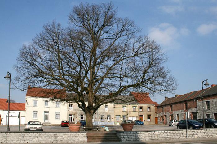


Erquelinnes is a Walloon municipality located in the Belgian province of Hainaut. Located on the border with France, where the commune of Maubeuge lies, Erquelinnes had a total resident population of 9,549, in 2006. The total area is 44.23 km2 (17.08 sq mi) which gives a population density of 216 inhabitants per km².
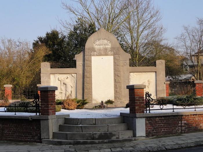
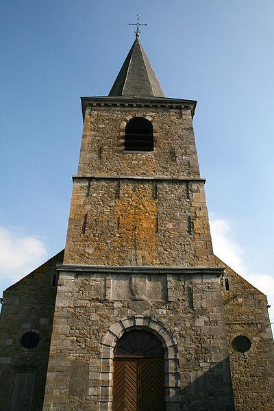
The municipality consists of the following sub-municipalities: Erquelinnes proper, Bersillies-l'Abbaye, Grand-Reng, Hantes-Wihéries, Montignies-Saint-Christophe, and Solre-sur-Sambre.
The municipality consists of the following sub-municipalities: Erquelinnes proper, Bersillies-l'Abbaye, Grand-Reng, Hantes-Wihéries, Montignies-Saint-Christophe, and Solre-sur-Sambre.
Wikipedia article: https://en.wikipedia.org/wiki/Erquelinnes
Nearby cities:
Coordinates: 50°18'11"N 4°7'52"E
- Sivry-Rance 10 km
- Estinnes 16 km
- Quévy 22 km
- Frameries (municipality) 25 km
- Le Roeulx (Municipality) 28 km
- Honnelles 35 km
- Bernissart (municipality) 44 km
- Chièvres 45 km
- Tubize (Municipality) 47 km
- Herne (municipality) 52 km
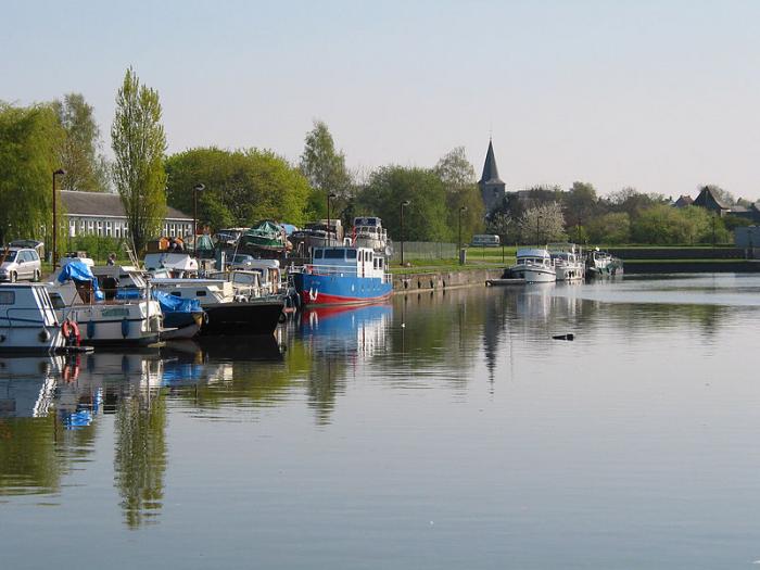
- Road Bridge 0.9 km
- Lock No.1, Solre-s-Sambre 1.5 km
- Railway bridge 1.7 km
- Border crossing - France/Belgium 2.6 km
- Rue en Bas, ? 3.2 km
- Nature Reserve de Labuissière 3.8 km
- Railway bridge 3.9 km
- Railway bridge 5.4 km
- Railway bridge 6.4 km
- BEMILCOM Site ? 8.9 km