Coco Island Airport (Myanmar)
Myanmar /
Ayeyarwady /
Labutta /
World
/ Myanmar
/ Ayeyarwady
/ Labutta
World
airport
Add category
airport name: Coco Island Airport
geographical location: 14° 8' 29" North, 93° 22' 6" East
IATA code:
ICAO code: VYCI
Runway length: 1400 metres
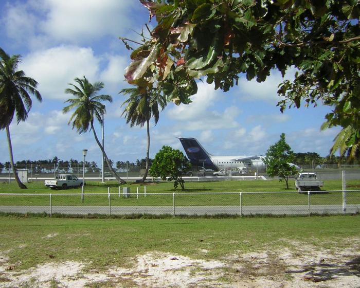
According to some sources this is a Chinese military airbase, although there are no signs of military hangars, shelters, bunkers or surface-to-air missile systems. There are also no signs of a guarded area around the airstrip, which seems to be used as a road as can be seen by the sand traces. On both sides of the airstrip are houses, which indicate that the airstrip is not used regularly for the instance of safety. The best connection to the Chinese mainland is through air, so on occasional basis Chinese military aircraft would be using the airport.
geographical location: 14° 8' 29" North, 93° 22' 6" East
IATA code:
ICAO code: VYCI
Runway length: 1400 metres
According to some sources this is a Chinese military airbase, although there are no signs of military hangars, shelters, bunkers or surface-to-air missile systems. There are also no signs of a guarded area around the airstrip, which seems to be used as a road as can be seen by the sand traces. On both sides of the airstrip are houses, which indicate that the airstrip is not used regularly for the instance of safety. The best connection to the Chinese mainland is through air, so on occasional basis Chinese military aircraft would be using the airport.
Nearby cities:
Coordinates: 14°8'17"N 93°22'4"E
- Naypyidaw International Airport (NYT/VYNT) 682 km
- Takhli Royal Thai Air Force Base 754 km
- Thai Air Force Base Wing 2 787 km
- Suvarnabhumi International Airport 796 km
- U-Tapao International Airport 840 km
- Mandalay International Airport 889 km
- Kualanamu International Airport (KNO/WIMM) 1313 km
- KLIA Aeropolis, Sepang 1555 km
- Phan Rang Air Base 1711 km
- Singapore Changi Airport (SIN/WSSS) 1837 km
- Great Coco Island 10 km
- Puriyan Cape 222 km
- Tail of Burma 229 km
- Tekkethaung River 255 km
- Thongwa 260 km
- Ka Don Ka Ni Island 269 km
- Pyinsalu River 281 km
- Mein Ma Hla Kyun Wildlife Sanctuary 290 km
- Bassein (Pathein) River 291 km
- Myaungmya 317 km
Comments